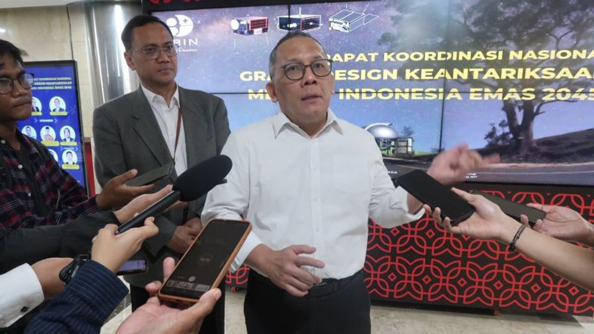


JAKARTA - The National Innovation Research Agency (BRIN) revealed that Indonesia can spend Rp475 billion each year to purchase satellite image data from external providers for climate, fisheries, plantations to law and security purposes. Head of BRIN Laksana Tri Handoko said Indonesia needed a minimum of six combination remote sensing satellites in the form of radar-based satellites and satellites. "It's better if we can get data that is outside the area of Indonesia. That makes it difficult for Indonesia to see the flow ofacterins to predict the presence of fish in the ocean. He gave an example that if the sea direction of Australia and Indonesia has not received any data on the movement of these Wheres, then suddenly the stragglers appeared (in Indonesia) it was too late. If we have our own (satellite) we can observe from the start, so that we can predict tomorrow or the day after tomorrow if the fishermen catch there. So, there are also many weaknesses if only buy besides being more expensive, "said Handoko.
Furthermore, he said that the six satellites were sufficient for the initial steps for Indonesia to realize national data resilience. BRIN will soon start the constellation satellite project so that Indonesia will no longer buy image data but produce its own. "With image data that we buy, the business can actually be made, that's what we will try as soon as possible," concluded Handoko.
The English, Chinese, Japanese, Arabic, and French versions are automatically generated by the AI. So there may still be inaccuracies in translating, please always see Indonesian as our main language. (system supported by DigitalSiber.id)
Most Popular Tags
#Prabowo Subianto #donald trump #Febrie Adriansyah #8791 #giias 2026Popular


