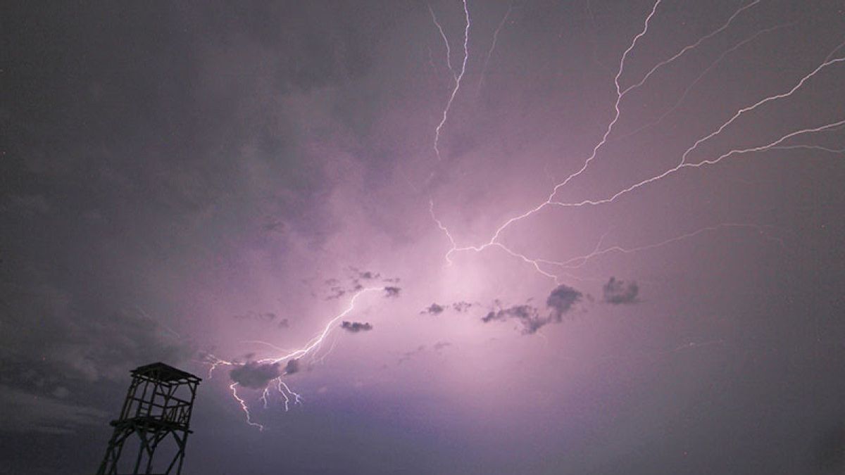
JAKARTA - The Meteorology, Climatology and Geophysics Agency (BMKG) stated that there are 14 areas with waspda status because they have the potential to experience extreme weather in the form of heavy rain accompanied by lightning and strong winds.
Quoting Antara, the 14 areas with alert status include Aceh, North Sumatra, Jambi, West Sumatra, Riau, South Sumatra, West Kalimantan, East Kalimantan, Central Sulawesi, South Sulawesi, Maluku, Central Papua, Mountains Papua, and South Papua.
Early warning of the impact of rain with moderate to heavy intensity also has the potential to target West Java Bandung and Pekanbaru Riau areas.
Furthermore, BMKG predicts the potential for rain accompanied by lightning in Jambi, Bengkulu, Banda Aceh, Pontianak, Banjarmasin, Samarinda, Pangkal Pinang, and Manado, in the morning.
Meanwhile, for the DKI Jakarta area, most of it is sunny and cloudy in the morning to early morning, with humidity 75-95 percent at night, and a temperature of 24-31 degrees Celsius.
Head of BMKG Dwikorita Karnawati revealed that the potential for extreme weather that could lead to disasters has increased in most areas for the next week, triggered by intervention in tropical cyclone seeds.
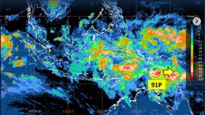
According to him, three tropical cyclone seeds; Tropical Cyclone seeds 91S, 94S, and 93P are monitored around the Indian Ocean south of Java, the Timor Sea, and the Australian Sea show influence on the southern part of Indonesia.
Based on meteorological analysis, it is known that Tropical Cyclone 91S has a maximum wind speed of 30-35 knots (56 65 km/h), air pressure at the center of the system of 994 hPa, movement to the southeast, and opportunities to become a tropical cyclone in the medium-high category.
Furthermore, the seeds of Tropical Cyclone 94S have a maximum wind speed of 15 - 20 knots (28 - 37 km/hour), air pressure at the center of the system of 999.9 hPa, movement to the east-southeast, and opportunities to become Tropical Cyclone.
SEE ALSO:
Likewise, Tropical Cyclone 93P has a maximum wind speed of 20 - 25 knots (37 - 46 km/hour), air pressure at the center of the system of 1003 hPa, movement to the southeast, and opportunities to become Tropical Cyclone.
In addition, BMKG also predicts that on May 11, May-12, 2024, most coastal areas of Indonesia will experience a high wave hazard risk.
This was obtained based on the high wave early warning report which was exposed on the social media page Instagram @infobmkg.
In its report, wind waves in northern Indonesia generally move from northwest-northeast with wind speeds ranging from 4-15 knots.
Meanwhile, in the southern part of Indonesia, it generally moves from the east of the southeast at a speed of 6-22 knots.
The phenomenon of wind acceleration and its turns increasing the potential for high sea waves at the diameter of the highest wind speed was observed in the western Arafuru Sea.
The English, Chinese, Japanese, Arabic, and French versions are automatically generated by the AI. So there may still be inaccuracies in translating, please always see Indonesian as our main language. (system supported by DigitalSiber.id)
