JAKARTA - The Semarang City Government will make a program plan related to regional urban planning drainage as an effort to deal with floods and landslides, especially residential areas.
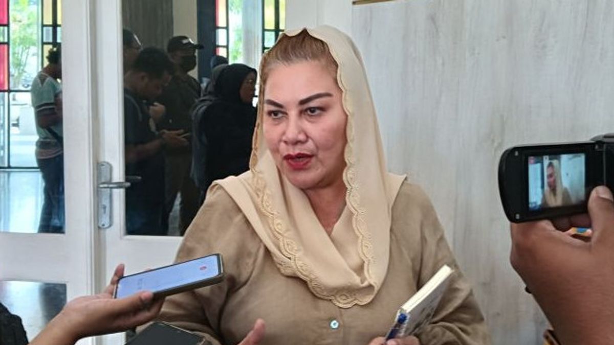
Semarang Mayor Hevearita Gunaryanti Rahayu in Semarang, Saturday, April 20, said that the program's plan was made to map the arrangement of waterways.
Through the program plan, said Ita, Hevearita's nickname, waterways in settlements and roads can be detected properly so as not to cause flooding or inundation.
He gave an example of the Bukit Sari area which is not far from Nasmoko Gombel often inundated, while after being traced the area was reservoir and drainage. However, it is currently closed and replaced like an underground water reservoir.
Another example, he said, was the drainage near Permata Puri Ngaliyan Hospital which had collapsed some time ago.
It turned out, he said, that the Semarang City Public Works Agency (DPU) did not know that there was a water channel under the highway.
"This is often a problem, the drainage does not know whether there is a presence or not. In fact, some are closed during development. This is homework, so it needs to be made a 'blue print' (program plan) as a whole," he said, as reported by Antara.
In addition to the drainage program plan, he said, there will also be a plan for a city planning program regarding licensing, because there is often a lack of coordination between nationals.
He said sometimes the Spatial Planning Agency (Distaru) issued permits to housing developers or investors, but the permit was not known to the Housing and Settlement Areas Service (Disperkim), DPU, or regional stakeholders.
"The case was like a landslide in several housing estates yesterday, it turned out that other agencies didn't know. It just found out when a landslide occurred. Well, after checking it, the public facilities (public facilities) and social facilities (social facilities) have not been submitted," he said.
He explained that the handling of floods and tidal waves became homework that had to be completed in an integrated manner between the central, provincial and district or city governments.
"This is because there are several different powers so they must be integrated," he said.
SEE ALSO:
Head of the Semarang City Regional Development Planning Agency (Bappeda) Budi Prakosa said the program plan was related to the plan for the next 20 years.
"Our automata must prepare policy documents for all sectors, both in the fields of health, education, infrastructure, including transportation and water resources, which we are preparing," he said.
In 2024, he said, the focus of Bappeda is the preparation of documents related to water resources in Semarang City.
"We already have an academic paper, only in its development there is a change in the dynamics of the region. Moreover, the water resource component is not only related to hydrology, but there is also potential for destruction due to disasters or resources," he said.
The English, Chinese, Japanese, Arabic, and French versions are automatically generated by the AI. So there may still be inaccuracies in translating, please always see Indonesian as our main language. (system supported by DigitalSiber.id)
