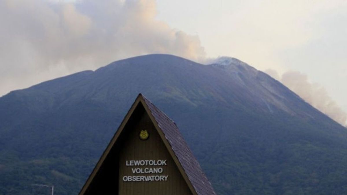


NTT - Mount Ile Lewotolok erupted seven times since Monday 26 February at 00.00 WITA until 24.00 WITA local time.
"Since yesterday there have been seven eruptions that occurred at the top of the mountain crater," said Mount Ile Lewotolok Monitoring Officer, Stanilaus Arakian in a report from Regency, Lembata, East Nusa Tenggara (NTT), Tuesday, February 27, as reported by Antara.
He explained that the height of the seven-time ash column of the eruption was in the range of 200-1000 meters or 1 kilometer. White and gray smoke accompanied the eruption,
Arakian added that seven eruptions were observed to have fallen with a sliding distance of 300 to 1,000 meters leading to the southeast and south regions and the mountain. In addition, lava flows were also observed to the southeast with a sliding distance of 1.8 kilometers via the drone lk from the eruption center and to the south with a distance of 600 meters. When the eruption occurred, he said, the mountain was clearly visible to the 0-I fog. Weak to moderately white and gray pressure crater smoke was observed with moderate to thick intensity of about 100 meters at the crater peak.
He added that currently the volcano, which once erupted at the end of November 2020, is now at level II or alert.
Therefore, his party issued recommendations in the form of a ban on people around Mount Ile Lewotolok as well as visitors, climbers, and tourists entering and carrying out activities within a two-kilometer radius of the mountain activity center.
SEE ALSO:

The potential threat of incandescent lava/materials must be watched out for. It is currently estimated that it will still be within a two-kilometer radius of the activity center of Mount Ile Lewotolok.
Based on the latest instrumental monitoring data for the mountain, he said, volcanic activity is still quite high, so a change in recommendation distance must be made in activity level still at level II (alert).
Some of these recommendations, such as the people around Mount Ile Lewotolok as well as visitors, climbers, or tourists, should not enter and not carry out activities within a two-kilometer radius of the Mount Lewotolok activity center.
Selain itu, masyarakat Desa Lamawolo, Desa Lamatokan, dan Desa Jontona agar selalu mewaspadai potensi ancaman bahaya embutan/longsoran lava dan awan panas dari bagian timur puncak/kawah gunung itu.
The English, Chinese, Japanese, Arabic, and French versions are automatically generated by the AI. So there may still be inaccuracies in translating, please always see Indonesian as our main language. (system supported by DigitalSiber.id)
Most Popular Tags
#Prabowo Subianto #donald trump #Febrie Adriansyah #8791 #giias 2026Popular


