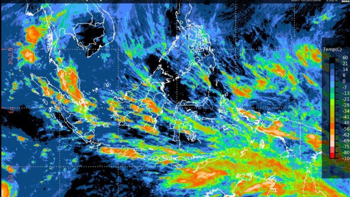
JAKARTA - The Meteorology, Climatology and Geophysics Agency (BMKG) said that the provinces of West Nusa Tenggara (NTB) and South Sulawesi have the potential for high rainfall with alert classification.
"70 percent of Indonesia's territory has entered the rainy season. For the end of January 2024, areas that have the potential for high rainfall with the classification of Alerts occur in the NTB and South Sulawesi areas," said Deputy for Climatology of BMKG, Ardhasena Sopahel will be reported by ANTARA, Thursday, January 25.
In addition, there are also areas that are included in the alert classification, namely the provinces of West Java, Central Java, NTB, South Sulawesi, and Papua.
Meanwhile, areas with vigilant classification are Lampung, Banten, West Java, Central Java, DI Yogyakarta, East Java, East Nusa Tenggara, North Sulawesi, South Sulawesi, Southeast Sulawesi, Papua, and West Papua.
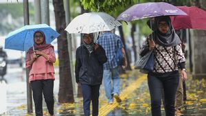
"In the rainy season, people are advised to take preventive measures to maintain conditions by consuming food and vitamins, using warm clothes, preparing an umbrella or raincoat when doing activities outdoors," he said.
Meanwhile, the Head of BMKG, Dwikorita Karnawati, said that extreme weather still threatens most parts of Indonesia until next February.
"The public is asked to be vigilant and prepared for the potential for a hydrometeorological disaster," he said.
The potential for heavy to very heavy rain, strong winds, and high waves still have high opportunities to occur in most parts of Indonesia.
There are three causes of this extreme weather. First, the Asian Monsoon which shows significant activity in the last few days.
"This condition has the potential to be accompanied by a cold rush phenomenon that can increase the potential for rain cloud growth in most parts of Indonesia," he said.
SEE ALSO:
Second, said Dwikorita, there are low-pressure areas observed around the Timor Sea, Carbon Sea and in the Indian Ocean west of Sumatra which can trigger the formation of a pulsation pattern and deceleration of wind speed in the western and southern parts of Indonesia, and can increase the growth potential of rain clouds and strong winds in Sumatra, Java, Nusa Tenggara, and southern Sulawesi, as well as have an impact on increasing high waves in the surrounding waters.
Third, namely the Madden Julian Oscillation (MJO) phenomenon which was formed along with the active Equatorial Rossby waves.
"This condition can increase convective activity as well as the formation of cyclonic circulation patterns in Indonesian territory," he explained.
The English, Chinese, Japanese, Arabic, and French versions are automatically generated by the AI. So there may still be inaccuracies in translating, please always see Indonesian as our main language. (system supported by DigitalSiber.id)


