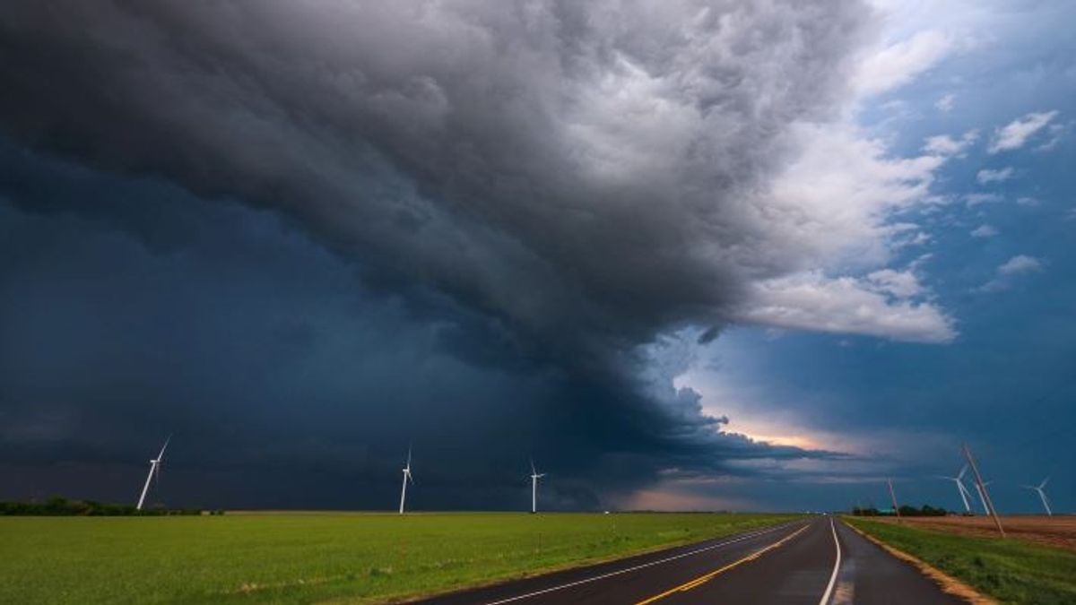
The Meteorology, Climatology and Geophysics Agency (BMKG) appealed to people in the southern part of Central Java (Central Java), especially Cilacap Regency, to be aware of increasing wind speed in the next few days.
"Based on our monitoring in the last two days, the wind in the Cilacap area has been quite strong. Even this afternoon at 14.30 WIB the maximum wind speed was recorded at 22 knots, usually around 6-7 knots," said Head of the BMKG Technician Group at the Tunggul Wulung Cilacap Meteorological Station, Teguh Wardoyo, in Cilacap, Wednesday, January 17, confiscated by Antara.
According to him, the increase in wind speed was an indirect impact of Tropical Cyclone Orchid which was observed in the southwest Indian Ocean of Sumatra and the seeds of Tropical Cyclone 99S which were observed to be in mainland northern Australia.
In this regard, he appealed to the public to be aware of the increase in wind speed which could endanger safety because it can knock down billboards or trees and increase sea wave heights.
"Currently, the wave height in the southern sea of West Java, Central Java, and the Special Region of Yogyakarta (DIY), is predicted to still fall into a high category of 2.5-4 meters," he said.
In addition to increasing wind speed, he said, the public was also advised to be aware of the potential for extreme weather on January 17-19, 2024 which could trigger a hydrometeorological disaster.
"Based on a release issued by BMKG of the Ahmad Yani Semarang Meteorological Station, the potential for extreme weather was triggered by several factors, including the warm sea level in the waters of Central Java or the Java Sea," he said.
According to him, the extreme weather was also triggered by the Madden-Julian Oscillation (MJO) regional phenomenon in the Kuadran 4 (Maritime Continuent) which contributed to the process of forming rain clouds in the western part of Indonesia.
In addition, he said, there are wind bend areas around the Java region and strong local labilities that support the convective process on a local scale observed in Central Java.
"This condition causes an increase in the potential for extreme weather in the form of rain with moderate to heavy intensity which can be accompanied by lightning and strong winds in several areas of Central Java on January 17-19," he said.
Furthermore, he said areas that have the potential for extreme weather on Wednesday, January 17 include Cilacap, Banyumas, Purbalingga, Banjarnegara, Kebumen, Purworejo, Wonosobo, Magelang Regency/City, Boyolali, Klaten, Sukoharjo, Wonogiri, Karanganyar, Sragen, Kudus, Jepara, Demak, Semarang Regency/City, Temanggung, Pekalongan Regency, Tegal Regency, Surakarta, Salatiga, Brebes, and surrounding areas.
SEE ALSO:
Meanwhile, on Thursday, January 18, he continued, extreme weather has the potential to occur in Banjarnegara, Banyumas, Batang, Blora, Boyolali, Demak, Grobogan, Jepara, Karanganyar, Kendal, Kudus, Magelang, Pati, Pekalongan, Purworejo, Rembang, Semarang Regency/City, Sragen, Temanggung, Wonogiri, Wonosobo, and surrounding areas.
According to him, areas that have the potential for extreme weather on Friday 19 January include Banjarnegara, Banyumas, Batang, Blora, Brebes, Cilacap, Grobogan, Karanganyar, Kendal, Pati, Pekalongan, Pemalang, Purbalingga, Rembang, Semarang Regency/City, Sragen, Tegal Regency, Temanggung, Wonogiri, Wonosobo, and surrounding areas.
"We urge the public to remain alert to potential extreme weather in the next three days which has the potential to cause hydrometeorological disasters in the form of floods, landslides, and strong winds, especially for people who live and live in areas prone to hydrometeorological disasters," said Teguh.
The English, Chinese, Japanese, Arabic, and French versions are automatically generated by the AI. So there may still be inaccuracies in translating, please always see Indonesian as our main language. (system supported by DigitalSiber.id)


