

JAKARTA - The Meteorology, Climatology and Geophysics Agency (BMKG) said that an earthquake with a magnitude of 5.6 in the Indian Ocean south of West Java was triggered by rock deformation activity in the Indo-Australian Plate.
"The earthquake that occurred was a type of shallow earthquake due to rock deformation activity in the Indo-Australian Plate which was subducted under the Eurasian Plate," said Head of the BMKG Earthquake and Tsunami Center, Daryono, quoted by ANTARA, Thursday, October 19.
The results of the analysis of the source mechanism show that the earthquake has a thrust fault mechanism.
"The modeling results show that this earthquake has no potential for a tsunami," he said.
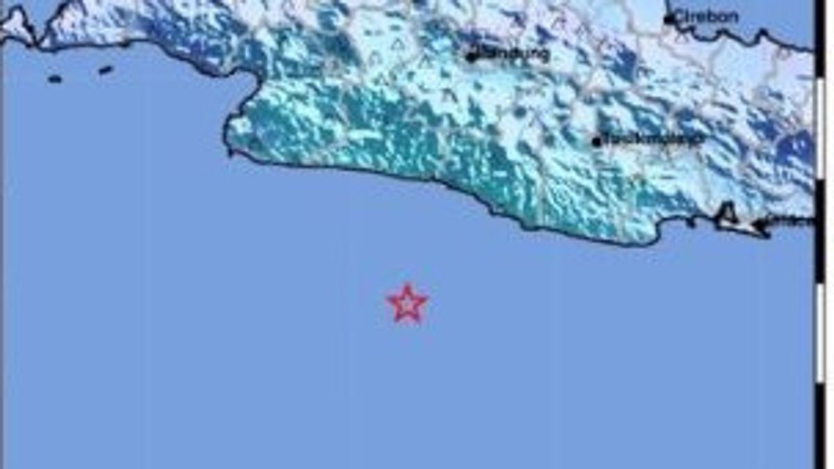
The results of the BMKG analysis also show that this earthquake has updated parameters with a magnitude of M5.4, with the epicenter located at coordinates 8.11 south latitude and 107.27 east longitude, or precisely located at sea at a distance of 121 southwest of Garut Regency, West Java at a depth of 57 km.
The earthquake that occurred at 21.08 WIB had an impact and was felt in Garut, Pangandaran, Cianjur, Cilacap, Pelabuhan Ratu, Sukabumi, Cikelet with an intensity scale of III MMI (modified mercy), meaning that the vibration felt real in the house, felt vibration as if a truck was passing.
SEE ALSO:


The earthquake was also felt in Lembang, Bandung, Parompong, Bogor, Cireunghas areas with an intensity scale of II MMI (Fights were felt by several people, light objects that were hung swayed).
"As of 21.40 WIB, the results of BMKG monitoring have not shown any aftershock activity," he said.
The English, Chinese, Japanese, Arabic, and French versions are automatically generated by the AI. So there may still be inaccuracies in translating, please always see Indonesian as our main language. (system supported by DigitalSiber.id)
Most Popular Tags
#Prabowo Subianto #donald trump #2026 World Cup #venezuela #konflik timur tengahPopular


