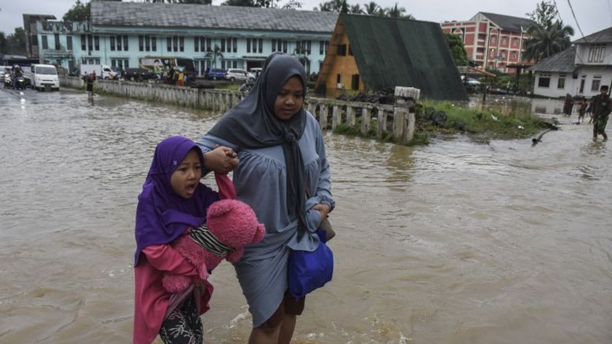


JAKARTA - The Meteorology, Climatology and Geophysics Agency (BMKG) appealed to the public to be aware of the potential for rain with moderate to heavy intensity at the beginning of this year's dry season.
"Observing the development of atmospheric dynamics, the potential for moderate to heavy rain can still occur. In this period, the potential for rain is very high to extreme in the central and eastern parts of Indonesia," said BMKG Deputy for Meteorology Guswanto in a press statement delivered on Saturday in Jakarta.
Guswanto said that during the period 8 to 10 July 2023, rain could fall in Sumatra, such as North Sumatra, Riau, Riau Islands, West Sumatra, Jambi, Bengkulu, South Sumatra, Bangka Belitung Islands, and Lampung.
During that period, rain could also occur in parts of Banten, DKI Jakarta, West Java, Central Java, and East Java as well as parts of West Kalimantan, Central Kalimantan, South Kalimantan, East Kalimantan, and North Kalimantan.
In eastern Indonesia, rain during this period is predicted to flush parts of North Sulawesi, Gorontalo, Central Sulawesi, South Sulawesi, Southeast Sulawesi, Maluku, North Maluku, West Papua and Papua.
Guswanto explained several factors of atmospheric dynamics that caused rain to still fall in the area at the beginning of the dry season, including the active Madden Julian Oscillation (MJO) as well as the equitable waves Kelvin and Rossby which can increase the potential for rain cloud growth and indirectly increase rainfall.
According to him, MJO and Kelvin waves moved from west to east, from the Indian Ocean towards the Pacific Ocean and passed through Indonesia with a MJO movement cycle of about 30 to 40 days and Kelvin waves on a relatively faster scale, namely daily.
Instead, he continued, Rossby waves moved from east to west, from the Pacific Ocean towards the Indian Ocean, and passed through Indonesia.
SEE ALSO:
-
 | BERITA
Polres Agam Ungkap 18 Kasus Narkotika dan Apresiasi Dukungan Masyarakat
08 Juli 2023, 16:27


Like MJO and the Kelvin wave, he said, the active Rossby Wave in Indonesian territory could contribute to the increase in rain cloud growth and indirectly have an impact on increasing rainfall.
"For this reason, BMKG appeals to affected communities, especially those entering danger areas, to increase vigilance and prepare mitigation efforts against the potential for heavy to very heavy rain in the vicinity," said Guswanto as quoted by ANTARA, Saturday, July 8.
Residents can access the latest information regarding weather forecasts on the BMKG official information channel such as the @infobmkg social media account, the BMKG official website, and call center service 196 BMKG.
The English, Chinese, Japanese, Arabic, and French versions are automatically generated by the AI. So there may still be inaccuracies in translating, please always see Indonesian as our main language. (system supported by DigitalSiber.id)


