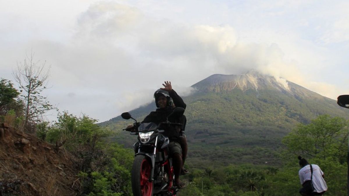
JAKARTA - The Center for Volcanology and Geological Disaster Mitigation (PVBMG) stated that the potential for cold lava due to the eruption of Mount Ili Lewotolok Volcano could have occurred due to high intensity rain on the top of the mountain.
"The potential for cold lava could occur because indeed the products of the last 29 November eruption would be concentrated on the slopes of Mount Ili Lewotolok and if it rains with high intensity it can cause cold lava floods in the rivers connected from this mountain," said the Madya Earth Investigator. PVBMG Bandung Ugan was reported by Antara, Friday, December 4.
Ugan said that the community or residents whose houses are located right in the river flow paths connected to Mount Ili Lewotolok must be aware of this because it is very dangerous.
According to their monitoring, the rivers originating from Mount Ili Lewotolok are located in Kali Mati, then in Lamawolo Village and also Kali Jontona, all of which are in disaster-prone areas (KRB) or zones.
"Therefore, if there is heavy rain, it is recommended that residents stay away from rivers, dead streams or water flow paths from the mountains. Because they may be directly affected by secondary hazards from volcanoes," he said.
Since the eruption on November 29 until now, Ili Lewotolok has not released incandescent lava, but volcanic material such as gravel and volcanic ash has come out of the crater.
PVBMG stated that the volcanic activity of Mount Ili Lewotolok in Lembata Regency, East Nusa Tenggara (NTT) Province was still ongoing on Thursday afternoon.
Based on the monitoring of the Center for Volcanology and Geological Disaster Mitigation (PVMBG) at the Observation Post, the eruption occurred at 03.54 WITA.
The ash column was observed to be gray with a thick intensity leaning towards the west. The eruption, with an altitude of 1,623 meters above sea level, was recorded on a seismogram with an amplitude of 5 mm and a duration of 25 seconds.
"The eruption was accompanied by a faint roar and a ray of fire approximately 20 meters above the top of the crater," said monitoring post officer Bobyson Lamanepa in his report.
The volcanic activity is still quite high, as indicated by the recorded earthquakes and eruptions.
"Therefore, people who are in a radius of 4 kilometers who enter the red zone, please immediately avoid and enter the safe zone, which is six kilometers from the top of the mountain," he said.
The English, Chinese, Japanese, Arabic, and French versions are automatically generated by the AI. So there may still be inaccuracies in translating, please always see Indonesian as our main language. (system supported by DigitalSiber.id)


