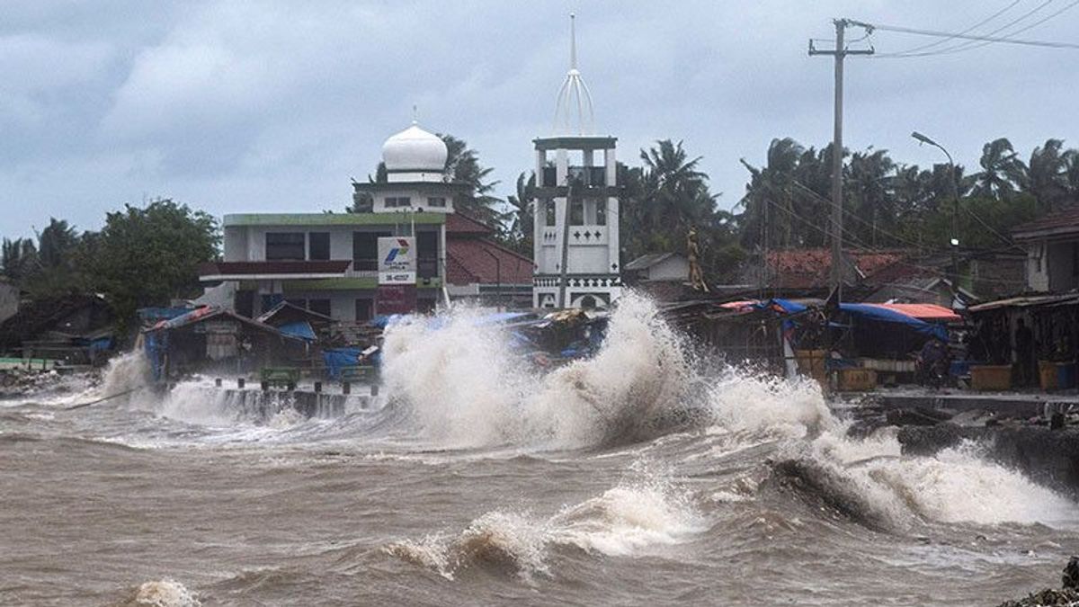


SUMBAR - The Meteorology, Climatology and Geophysics Agency (BMKG) asked the public to be aware of high waves ranging from the West Indian Ocean of the Mentawai Islands to Sumbawa.
"We ask people who live and work on the coast around areas where high waves are likely to occur so that they remain vigilant," said Head of the Maritime Meteorology Center, BMKG, Eko Prasetyo, when confirmed, Tuesday, September 27.
He revealed that one of the causes of high waves was the wind pattern in northern Indonesia, which predominantly moved from the East-South East with wind speeds ranging from 5-25 knots.
Meanwhile, in the southern part of Indonesia, it is dominant to move from the East-Tenggara with wind speeds ranging from 5-20 knots.
The highest wind speed was observed in the western waters of Lampung, the southern part of the Sunda Strait, the southern waters of Banten-West Java, the South Indian Ocean of Banten, the waters of the Anambas Islands-Natuna Islands, the North Natuna Sea and the northern waters of the Talaud Islands.
This condition, said Eko, caused an opportunity for an increase in waves as high as 4 to 6 meters to occur in the West Indian Ocean of the Mentawai-Lampung Islands, Enggano-barat Lampung waters, the western and southern Sunda Straits, the southern waters of Java, the Bali-Lombok Strait. - southern Alas, the South Indian Ocean of Java-Sumbawa.
For waves in the lower range of 2.5 to 4 meters, it is possible to occur in the northern waters of Aceh, the western waters of Aceh-Mentawai Islands, Bengkulu waters, the West Indian Ocean of Aceh- Nias Islands.
Then, the southern part of Lampung Bay, the southern waters of Bali-Sumba Island, the western part of the Sumba Strait, the southern part of the Sape Strait, the South Indian Ocean of Sumba Island, North Natuna Sea.
Furthermore, based on an Antara report, waves as high as 1.25-2.5 meters in the eastern waters of Simeulue, southern waters of Flores, waters of Sawu-Rote-Kupang Island, Sawu Sea, South Indian Ocean Sawu, South Indian Ocean Rote-Kupang, Natuna Islands waters, Natuna Sea, eastern Java Sea.
Next, the Bali Sea-The northern part of Lombok, the southern part of the Makassar Strait, the northern part of the Maluku Sea, the waters of the Talaud Islands, the northern waters of Papua, the northern Pacific Ocean of Papua, the eastern part of the Arafuru Sea.
"This high wave has the potential to occur in several areas of Indonesian waters on 27-28 September 2022," he explained.
Eko asked to pay attention to the high risk to shipping safety such as fishing boats (wind speeds of more than 15 knots and wave heights above 1.25 m), barges (wind speeds of more than 16 knots and wave heights above 1.5 m).
Ferry ship (wind speed of more than 21 knots and wave height above 2.5 m), large ships such as cargo ships or cruise ships (wind speed of more than 27 knots and wave height above 4.0 m).
The English, Chinese, Japanese, Arabic, and French versions are automatically generated by the AI. So there may still be inaccuracies in translating, please always see Indonesian as our main language. (system supported by DigitalSiber.id)
Most Popular Tags
#Prabowo Subianto #donald trump #2026 World Cup #Febrie Adriansyah #8791Popular


