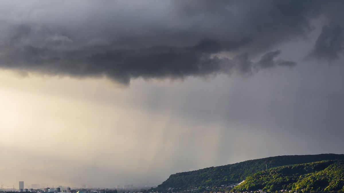
JAKARTA - BMKG Juanda reminded the public to increase their awareness of hydrometeorological disasters in the East Java region.
Head of Meteorological Station Class I Juanda Sidoarjo, Taufiq Hermawan said that currently the East Java region is in the dry season. However, it is predicted that the East Java region in general still has the potential to rain with varying intensity from light, moderate, even to heavy and accompanied by lightning.
"The public is advised to remain vigilant and careful about the impact of hydrometeorological disasters such as potential floods, landslides, flash floods, puddles, strong winds, fallen trees and slippery roads," said Taufiq, Tuesday, September 6.
He said this was due to the active disturbance of the phenomenon of the Rossby and MJO atmospheric waves, as well as the wind bending area in the North region of East Java.
He said the sea surface temperature in East Java's waters was still quite warm with sea level temperature anomalies between +0.5 to +1.5 degrees Celsius and there was still a weak La Nina phenomenon. "Based on the presence of a significant atmospheric disturbance, it causes atmospheric conditions to become unstable so that it affects the formation of Cumulonimbus clouds which will be more intense and can cause rain with moderate to heavy intensity accompanied by lightning and strong winds for a moment," he said as quoted by Antara.
He said the potential for rain in East Java is predicted to occur from September 6 to 10, 2022, in the areas of Gresik, Lamongan, Tuban, Nganjuk, Kediri Regency, Mojokerto Regency, Blitar Regency, Trenggalek, Bangkalan, Sampang, Sumenep, Malang Regency and City, Batu City, Lumajang, Pasuruan Regency, Jember, Probolinggo Regency, Situbondo and Banyuwangi.
The English, Chinese, Japanese, Arabic, and French versions are automatically generated by the AI. So there may still be inaccuracies in translating, please always see Indonesian as our main language. (system supported by DigitalSiber.id)


