

JEMBER - The Jember Regional Disaster Management Agency (BPBD) monitors the activity of Mount Raung from a number of location points when the status of the mountain which has a height of 3,332 meters above sea level (masl) has increased from Normal (Level 1) to Alert (Level 2).
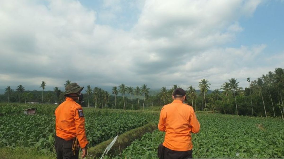
"It is true that the status of Mount Raung has increased to Alert starting this Friday, so that the Jember BPBD volunteers monitor the mountain's activity from several locations in Sumberjambe and Ledokombo Subdistricts," said Jember BPBD Secretary Heru Widagdo as reported by ANTARA, Friday, July 29.
The activity level of Mount Raung was raised from Level 1 (Normal) to Level 2 (Alert) since July 29 at 08.00 WIB based on the results of seismic monitoring and analysis, as well as the unstable condition of the volcanic crater located on the border of Banyuwangi, Bondowoso and Jember regencies.
"We also socialize to residents related to increasing the status of Mount Raung so that they increase their vigilance, but there is no need to panic too much," he said.
Based on BPBD Jember data, there are several sub-districts that are usually affected by the eruption of Mount Raung in the form of volcanic ash rain, namely in Sumberjambe, Ledokombo, Silo and Sukowono Districts.
"BPBD officers have also anticipated the handling of the Mount Raung eruption disaster by alerting Rapid Response Team volunteers at a number of monitoring posts and distributing masks to local residents," he said.
The Head of the Geological Agency of the Ministry of Energy and Mineral Resources, Eko Budi Lelono, has also submitted a letter related to upgrading the status of Mount Raung to the Head of BNPB, the Governor of East Java, the Regent of Jember, the Regent of Bondowoso and the Regent of Banyuwangi.
In the letter, several recommendations were made regarding the level of activity of Mount Raung increasing to be alert, namely that the public and visitors/tourists are not allowed to approach the center of the eruption in the summit crater with a radius of 3 kilometers.
Communities around Mount Raung are expected to remain calm and not be provoked by issues regarding the eruption of Mount Raung, and to always follow directions from BPBD of East Java Province and BPBD of Bondowoso Regency, Banyuwangi Regency and Jember Regency.
The regional government and BPBD of East Java Province and BPBD of Bondowoso Regency, Banyuwangi Regency, and Jember Regency to always coordinate with the Center for Volcanology and Geological Hazard Mitigation or the Raung Volcano Observation Post in Banyuwangi Regency.
The community and local government and other relevant agencies can monitor the progress of Mount Raung's activities and recommendations through the Magma Indonesia application/page.
The English, Chinese, Japanese, Arabic, and French versions are automatically generated by the AI. So there may still be inaccuracies in translating, please always see Indonesian as our main language. (system supported by DigitalSiber.id)


