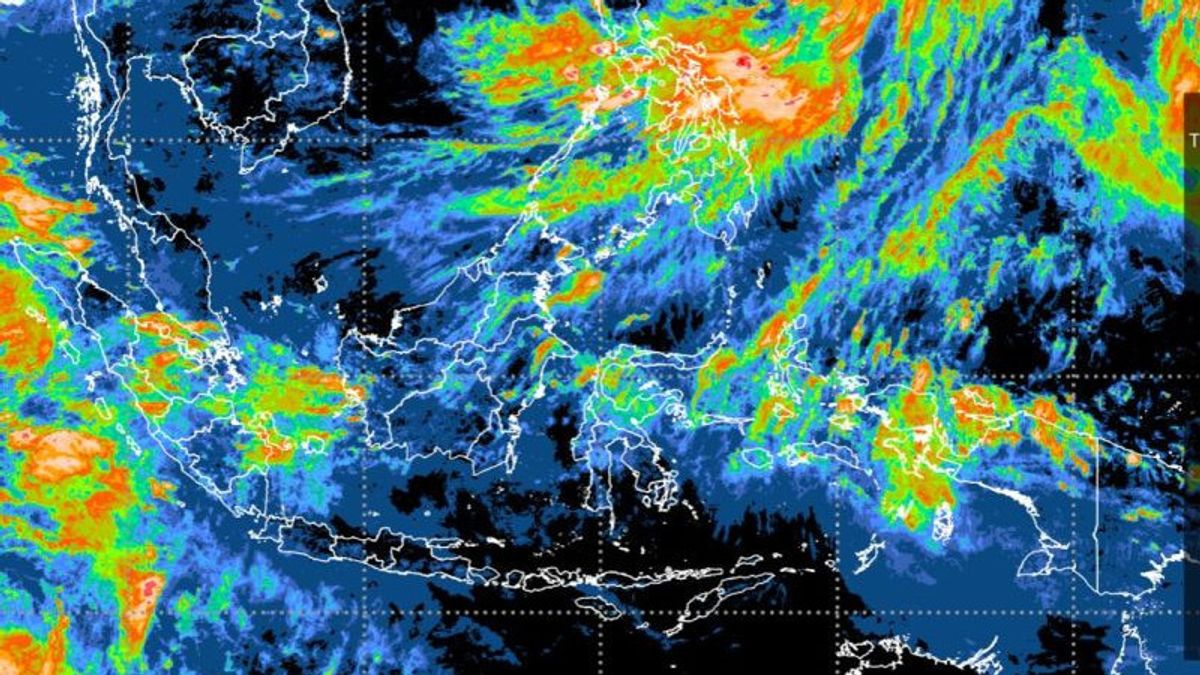


JAKARTA - The Meteorology, Climatology and Geophysics Agency (BMKG) stated that Tropical Cyclone Songda, which formed in the Philippines, had an indirect impact on Indonesia's sea wave height.
"Tropical cyclone Songa in the next 24 hours will have an impact on wave heights of 1.25 - 2.5 meters in Bitung waters to the Sitaro Islands, eastern Sulawesi Sea, Maluku Sea, Manokwari waters, Biak Island waters to Jayapura, northern Pacific Ocean, West Papua. to Papua," said BMKG Deputy for Meteorology Guswanto in a written statement quoted by ANTARA, Friday, July 29.
BMKG through the Jakarta Tropical Cyclone Warning Center (TCWC) has monitored the development of Cyclone 93W seedlings growing around the Philippine Sea since July 25, 2022 at 00 UTC.
Based on the latest analysis data, today's cyclone seed 93W has increased its status and has become Tropical Cyclone Songda which grows around the waters of the Philippines, precisely at 27.6 North Latitude, 135.2 East Longitude with a maximum wind speed of 35 knots (64 km/hour) and air pressure at its center reaches 1002 hPa.
Cyclone Songda is now outside the control area of TCWC Jakarta and is moving towards the Northwest and further away from Indonesian territory.
Guswanto also explained that the seeds of tropical cyclone 95S grew around the Indian Ocean southwest of Lampung at 10.8 latitude, 94.6 east longitude and are now in the responsibility area of TCWC Perth, Australia.
The maximum wind speed around the system reaches 30 knots (55 km/hour) and the air pressure in the center reaches 998 hPa with the movement of the system towards the South-Southeast away from Indonesian territory and the potential to become a Tropical Cyclone is in the low category.
In the next 24 hours, cyclone 95S seeds can have an indirect impact on weather conditions and sea waves in Indonesian territory in the form of heavy rain and strong winds occurring in the Mentawai Islands (West Sumatra), Bengkulu, West Lampung provinces.
Then the wave height of 1.25 - 2.5 meters in the eastern waters of the Mentawai Islands, the Bali Strait - Lombok - North Sape.
Furthermore, the wave height is 2.5 - 4.0 meters in the northern part of the Malacca Strait, the eastern waters of Simuelue Island to the Nias Islands, the waters of the Enggano Island - Bengkulu, the West Lampung waters, the southern part of Lampung Bay, the southern part of the Sunda Strait, the Bali Strait - Lombok - Sape - Southern Alas, Savu Sea, Waters of Rotte Island - Kupang, South Indian Ocean, East Nusa Tenggara.
The impact of wave heights of 4.0 - 6.0 meters in the western waters of the Mentawai Islands, the southern waters of Java (Banten South Sea, West Java South Sea, DIY South Sea and East Java South Sea), West Indian Ocean, Mentawai Islands to South West Nusa Tenggara . Potential wave height of more than 6.0 meters in the West Indian Ocean from Aceh to the Nias Islands.
The English, Chinese, Japanese, Arabic, and French versions are automatically generated by the AI. So there may still be inaccuracies in translating, please always see Indonesian as our main language. (system supported by DigitalSiber.id)


