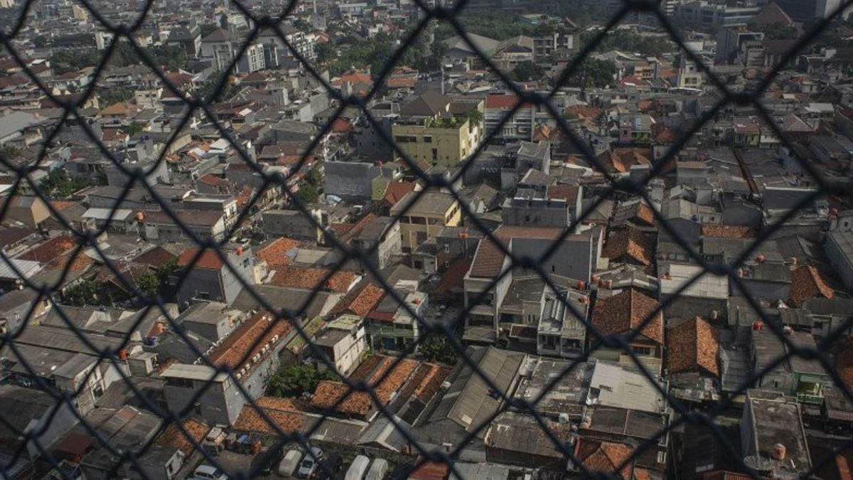


JAKARTA - The Center for Volcanology and Geological Hazard Mitigation (PVMBG) of the Ministry of Energy and Mineral Resources stated that 10 areas in Jakarta have the potential to experience ground movement.
The ten locations are located in two administrative cities, namely, East Jakarta and South Jakarta. In East Jakarta, these locations are in Kramat Jati and Pasar Rebo.
In South Jakarta, the locations are in Cilandak, Jagakarsa, Kebayoran Baru, Kebayoran Lama, Mampang Prapatan, Pancoran, Pasar Minggu, and Pesanggrahan.
Head of Disaster Management Agency (BPBD) DKI M. Insaf revealed the potential dangers that could occur from this condition, ranging from landslides to fatalities.
"Locations that have the potential for ground movement are feared to cause landslides and damage or crack houses. So, it is feared that this will also cause casualties," said Insaf when contacted, Tuesday, March 8.
Insaf explained that these 10 locations are in the middle zone. In this zone, soil movement can occur if rainfall is above normal, especially in areas bordering river valleys, escarpments, road cliffs, or if the slopes are disturbed.
SEE ALSO:


Therefore, Insaf asked the community to the local government to anticipate the potential for land movement in the 10 areas.
"It is appealed to the village heads, sub-district heads, and the community, around potential locations, to keep anticipating the potential for ground movement when rainfall is above normal," he said.
The forecast for the location of the potential for ground movement is prepared based on the results of the overlap between the map of the soil movement vulnerability zone and the monthly rainfall forecast map obtained from the Meteorology, Climatology, and Geophysics Agency (BMKG).
The English, Chinese, Japanese, Arabic, and French versions are automatically generated by the AI. So there may still be inaccuracies in translating, please always see Indonesian as our main language. (system supported by DigitalSiber.id)


