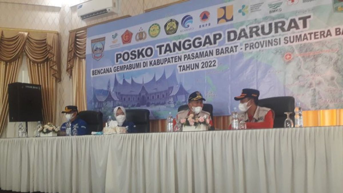


JAKARTA - For residents of West Pasaman, West Sumatra, please choose information. Head of the Meteorology, Climatology and Geophysics Agency (BMKG), Dwikorita Karnawati, emphasized that the information circulating about an aftershock with a magnitude of 7.5 in West Pasaman Regency, Sumatra was fake news or a hoax.
"Currently, we have never been informed that it is safe for aftershocks of that magnitude. But the potential for a fault earthquake or the highest angkola segment with a magnitude of 7.5 is as disaster mitigation," she said, quoted by Antara, Sunday, February 27.
Meanwhile, she said, the earthquake that occurred in West Pasaman had not yet been determined whether it was the Angkola, Sianok, Semangko segments or if there were new faults.
"Currently we are still conducting an assessment of which segment of the earthquake occurred in West Pasaman," she said.
According to her, aftershocks continued to occur but were getting weaker and weaker. Her party cannot confirm when the earthquake will occur, but only predictions.
"People need to be alert but don't panic. From our data, aftershocks still occur but the magnitude is getting weaker," she said.
She emphasized that the current earthquake problem has subsided and what needs to be worried about now is the problem of landslides.
"What we need to be afraid of now is the landslide on the slopes of Mount Talamau because the material can cover the existing river flow," she said.
If the river flow is closed and rain continues to occur, she said, it is feared that the flow of the river with the material at the foot of Mount Talamau could create a new flow that threatens the residents of the water flow.
"The avalanche could be followed by flooding that could hit residential areas," she said.
His party emphasized the need for mapping the settlements around the foot of Mount Talamau so that the residents were temporarily relocated.
SEE ALSO:
-
 | EKONOMI
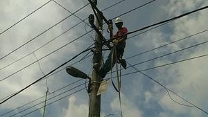
PLN Pastikan 100 Persen Listrik Pasaman Barat Kembali Normal Usai Diguncang Gempa
27 Februari 2022, 14:18 -
 | BERITA
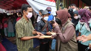
Mensos Risma Ingatkan Warga Pasaman Barat Kemandirian Sangat Penting Saat Bencana
27 Februari 2022, 08:36
Therefore, said Dwikorita Karnawati, the River Hall, Regional Disaster Management Agency (BPBD), Public Works and Spatial Planning, need to conduct a sweep to clean up piles of material in the existing river.
Meanwhile, the Head of the BMKG Potential Geophysical Engineering Sesmology Center, Rahmat Triyono, added that currently, her party is continuing to conduct field surveys to map the damage caused by the earthquake.
Then land mapping for the relocation plan if it is really dangerous for the residents.
"It is measured first how far the residents can relocate. For houses that are cracked, don't live in them first. The results of the field survey will be published later," she said.
He emphasized that there is no need to worry about the issue of strong aftershocks, but the danger of landslides that needs to be watched out for.
"We focus on which segment or fault occurred in the West Pasaman earthquake in the context of disaster mitigation," she said.
The English, Chinese, Japanese, Arabic, and French versions are automatically generated by the AI. So there may still be inaccuracies in translating, please always see Indonesian as our main language. (system supported by DigitalSiber.id)


