

JAKARTA - The Coordinator for Earthquake and Tsunami Mitigation of the Meteorology, Climatology and Geophysics Agency (BMKG), Daryono, said that the earthquake that occurred in the West Pasaman Regency, West Sumatra Province, was felt on the MMI scale II in Malaysia.
"The Pasaman earthquake was felt far away because the ground motion was quite strong and was responded by soft and amplified soil so that it could be felt in Malaysia," Daryono said in Jakarta, as reported by Antara, Friday, February 25.
Daryono did not specifically mention the area of Malaysia that was affected by the earthquake. However, on a map of the region of Malaysia that looks closest to the epicenter of the earthquake, Malacca.
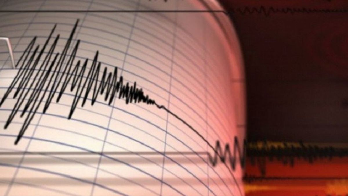
An earthquake with a magnitude of 6.1, whose center was on land at a depth of 10 km at approximately 12 km northeast of the West Pasaman region, the tremor was felt in Pasaman on the MMI scale V, felt by almost all residents and caused large objects to shake.
Vibrations from the earthquake were also felt in the Agam, Bukitttinggi, and Padang Panjang areas on the MMI IV scale, if it occurred during the day it was felt by many people in the house and caused doors and windows to creak.
In Padang, Payakumbuh, Aek Godang, and Gunung Sitoli, the tremors caused by the earthquake were felt on the MMI scale III, felt real inside the house, felt as if a truck was passing.
In addition, vibrations from the earthquake were felt in Pesisir Selatan, Rantau Parapat, South Nias, and Bangkinang on the MMI scale II felt by several people and caused light objects that were hung to sway.
Daryono explained that the earthquake that occurred in the West Pasaman region was a type of shallow crust earthquake that occurred due to the activity of the Great Sumatran Fault in the southern Angkola Segment.
SEE ALSO:
-
 | OLAHRAGA
Prihatin Situasi Rusia-Ukraina, Gianni Infantino: FIFA Mengutuk Penggunaan Kekuatan
25 Februari 2022, 09:07 -
 | TEKNOLOGI
Beberapa Situs Pemerintah Rusia Juga Alami Gangguan, Mungkinkah Serangan Balasan Ukraina?
25 Februari 2022, 08:05 -
 | EKONOMI
Panasnya Perseteruan Rusia - Ukraina Diprediksi Bikin IHSG 'Kebakaran' di Akhir Pekan
25 Februari 2022, 07:07
The earthquake was reported to have caused damage to many houses in Pasaman and West Pasaman.
BMKG noted that up to 09.35 WIB there had been 15 aftershocks with the largest magnitude of 4.2 after the earthquake with a magnitude of 6.1 at 08.39 WIB.
BMKG initially stated that the earthquake that occurred in the northeastern West Pasaman region on Friday at 08.39 WIB had a magnitude of 6.2 but later updated it to 6.1. The earthquake was preceded by an opening earthquake with a magnitude of 5.2.
The Pasaman region was recorded to experience destructive earthquakes with a magnitude of 7.0 in 1822, 1892, and 1926 as well as earthquakes with a magnitude of 6.1 in 1971.
The English, Chinese, Japanese, Arabic, and French versions are automatically generated by the AI. So there may still be inaccuracies in translating, please always see Indonesian as our main language. (system supported by DigitalSiber.id)


