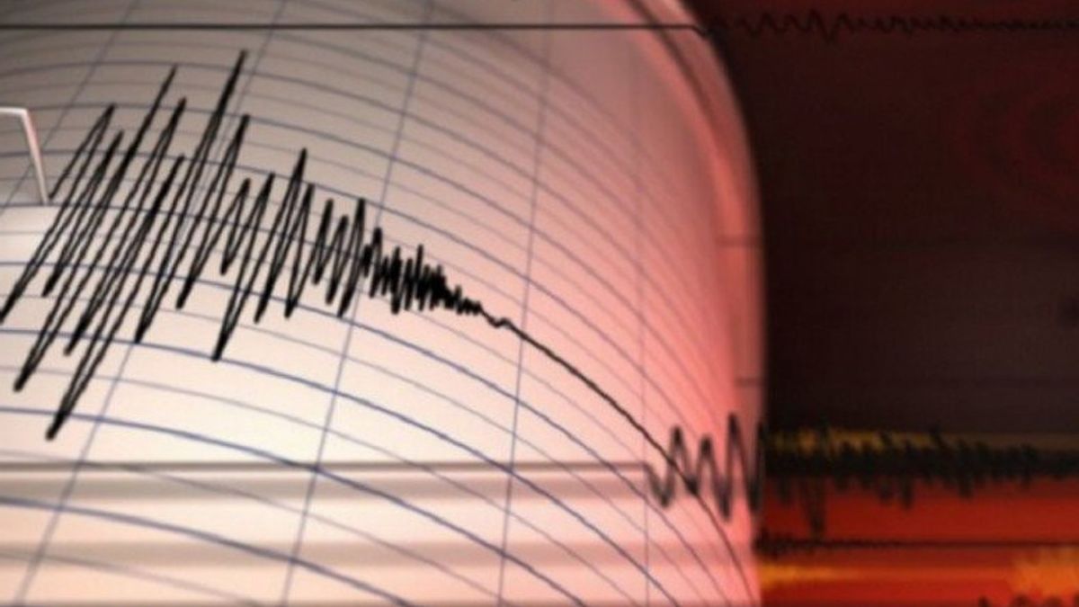


JAKARTA - A total of four types of tsunami early warning system tools in West Manggarai, East Nusa Tenggara have been installed by the Meteorology, Climatology and Geophysics Agency (BMKG). Equipment was installed to provide earthquake and tsunami information. "It supports a tsunami early warning system called the Indonesia Tsunami Early Warning System (INATEWS)," said Head of the West Manggarai Komodo Meteorological Station, Sti Nenotek, quoted from Antara, Sunday, February 13. earthquake shelters that have seismograph sensors to measure vibrations on the earth's surface. West Manggarai Regency itself has five earthquake shelters with details of 3 shelters installed with seismograph sensors and 2 shelters that will be installed in 2022.
Shelters that have been installed with seismograph sensors are earthquake shelters in Kuwus District, Labuan Bajo City, and Golo Mori Village. Meanwhile, two shelters where seismograph sensors will be installed are located on Komodo Island and Lembor District.
Furthermore, BMKG has installed a tsunami siren which functions to provide tsunami early warnings to the public. Tsunami sirens were installed at Puncak Waringin Labuan Bajo. In addition to these two devices, BMKG also installed the New Generation BMKG Warning Receiver System (WRS). This tool serves to provide early information when an earthquake occurs, so that the response to disaster information provided will be faster, especially for earthquakes and tsunamis. Currently, West Manggarai has two WRS tools located at the West Manggarai BPBD Office and Labuan Bajo SAR Post. Next, West Manggarai also has a device for monitoring ocean currents and waves (High Frequency Radar) which is a tool for monitoring the direction and speed of sea surface currents and sea wave height. Currently, there are 2 High Frequency Radars that have been installed on Gili Lawa Island Laut National Park. Komodo and the Karanga Coast Border, Labuan Bajo. In addition to the four tsunami and earthquake early warning tools, BMKG has also installed an automatic tool used to measure weather parameters for aviation weather information services. The tool is the Category III Automated Weather Observing System (AWOS). located at Komodo Labuan Bajo Airport. Awos Category III is located at Uj ung runway 17 (north side), the middle runway, and the end of runway 35 (south side). "BMKG wants to provide comfort and safety for the public and tourists in Labuan Bajo in particular and West Manggarai in general," said Sti.
The English, Chinese, Japanese, Arabic, and French versions are automatically generated by the AI. So there may still be inaccuracies in translating, please always see Indonesian as our main language. (system supported by DigitalSiber.id)
Most Popular Tags
#Prabowo Subianto #donald trump #Febrie Adriansyah #8791 #giias 2026Popular


