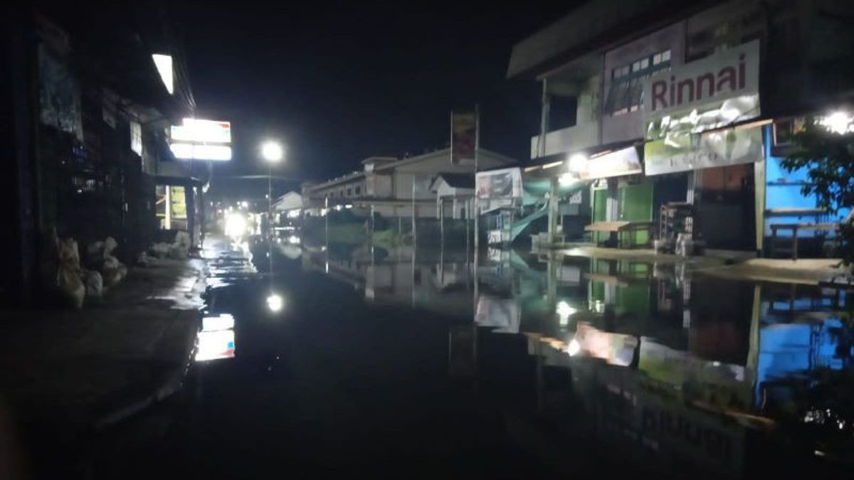
KAPUAS HULU - The National Disaster Management Agency (BNPB) stated that until now floods are still inundating a number of areas in the Sanggau Regency, West Kalimantan, which resulted in as many as 10,520 residential settlements in the area still being affected.
"It has been more than three weeks since the Sanggau area has been flooded, as of Monday (25/10) until now, 10,520 houses are still affected," said the Acting Head of the BNPB Disaster Data, Information and Communication Center Abdul Muhari quoted by Antara, Tuesday, 16 November.
Abdul Muhari explained that based on a report from the Regional Disaster Management Agency (BPBD) of Sanggau Regency as of Monday, November 15 evening at 19.00 WIB, a number of administrative areas in Sanggau Regency were still flooded.
The areas that are still inundated include Kapuas District, Mukok District, Tayan Hilir District, Toba District and Meliau District. Meanwhile, for the Jangkang Sub-district, the flood has receded and there are no more flooded houses.
It was stated that as many as 10,520 housing units were affected, with the water level currently being monitored in the range of 10-50 centimeters.
Meanwhile, it was also reported that 468 family heads were displaced, with the following details in Kapuas District, there were 405 families, Mukok District, 41 families, and in Toba District, 22 families.
"The Sanggau Regency BPBD Rapid Response Team (TRC) assisted by elements of the community and the local government coordinate to provide handling in the form of logistical supplies and carry out evacuation of affected victims," said Abdul Muhari.
In addition, village officials in the regions are advised to monitor and report flood conditions in each affected sub-district.
Based on the BMKG's basic rainfall analysis map I in November 2021, most areas of Kalimantan Province are still within the normal threshold with a percentage of 85-115 percent.
According to him, above the normal threshold if the percentage is above 115 percent.
However, BNPB appealed to remain vigilant and increase preparedness in the face of the La Nina phenomenon.
"Controlling the use of open space can be carried out in order to be able to reduce the rate of deforestation and the function of land and forests can be returned as optimal water absorption areas," said Abdul Muhari.
The English, Chinese, Japanese, Arabic, and French versions are automatically generated by the AI. So there may still be inaccuracies in translating, please always see Indonesian as our main language. (system supported by DigitalSiber.id)


