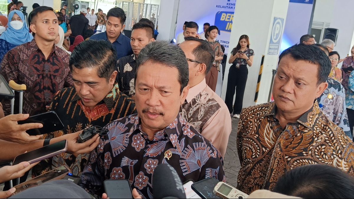
JAKARTA - Minister of Maritime Affairs and Fisheries Sakti Wahyu Trenggono revealed that the implementation of the blue economy program is to present credible marine and fisheries data in the future, including geospatial data on the blue carbon ecosystem in conservation areas, coastal and small islands.
"In the future, we can really display geospatial information. With the launch of the satellite, then the drone that operates, then the ship that is always actively monitoring the conservation area, what happens, in the future it will be recorded properly," Trenggono said as quoted by ANTARA, Thursday, March 7.
He acknowledged the provision of geospatial information, playing an important role in drafting an action plan for the expansion of marine conservation areas which is targeted to reach 97.5 million hectares by 2045.
In addition, to measure the carbon absorption potential of 188 million tCO2eq/year, and identify fish species in each marine fisheries zone.
He welcomed the involvement of universities including UGM with government agencies in an effort to present geospatial information on comprehensive conservation, coastal and small islands.
The KKP's blue economy program consists of five coverages, namely expansion of marine conservation areas, implementation of measured fishing policies based on quotas, sustainable development of marine, coastal and land cultivation fisheries, supervision and control of coastal areas and small islands, as well as cleaning up plastic waste in the sea through the fishermen's participation movement.
In the program, the use of fishery natural resources is not only for economic purposes, but also for ecological purposes.
Meanwhile, UGM Chancellor Ova Emilia admitted that his party is ready to fully support the implementation of blue economy-based work programs, one of which is through joint research and mapping activities.
"One of the collaborative activities (with the KKP) that takes place is the mapping of the carbon blue and lamun ecosystem in Indonesia, which is cross-sectoral cooperation. I also believe the results of the research conducted will contribute significantly in supporting the implementation of blue economy-based programs for sustainability," he said.
On that occasion, Trenggono also witnessed the signing of a number of cooperation agreements between the KKP work unit and UGM including the management and preparation of geospatial information thematics of the conservation area, coastal and small islands.
Then regarding increasing the capacity of human resources, research, support for the formation of laws and regulations and legal advocacy in the field of marine and marine management.As well as cooperation agreements for five parties (Ministry of Maritime Affairs and Fisheries, Universitas Gadjah Mada, National Research and Innovation Agency, Geospatial Information Agency and Hasanuddin University) on the activities of National Seagrass Mapping Framework Development and Implementation Project In Indonesia.
The English, Chinese, Japanese, Arabic, and French versions are automatically generated by the AI. So there may still be inaccuracies in translating, please always see Indonesian as our main language. (system supported by DigitalSiber.id)
