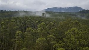


JAKARTA - The National Aeronautics and Space Agency (LAPAN) said that the narrowing of forest areas in the past 10 years has increased the risk of flooding in South Kalimantan (South Kalimantan).
Land cover data shows that from 2010 to 2020 there was a decrease in the area of primary forest, secondary forest, rice fields and shrubs, respectively 13 thousand hectares (ha), 116 thousand ha, 146 thousand ha and 47 thousand ha in South Kalimantan.
Meanwhile, the plantation area in that region, according to the data on land cover changes, has an area of up to 219 thousand ha.
"Changes in land cover in the past 10 years can provide an overview of the possibility of flooding in the Barito watershed, so that it can be used as an input to support future flood disaster mitigation efforts," said M Rokhis Khomaruddin, Head of LAPAN's Remote Sensing Utilization Center. , January 17th.
In addition, the results of rainfall analysis based on Himawari-8 satellite data show that rain-producing cloud coverage occurs from 12 to 13 January 2021 and continues until 15 January 2021 in the South Kalimantan region.
"This rainfall is one of the causes of floods that hit South Kalimantan Province on January 13, 2021," said Rokhis.
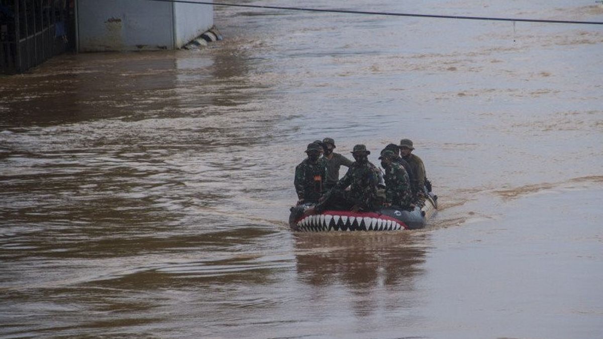
LAPAN also examined the area of inundation due to flooding on July 12, 2020 (before the flood) and January 13, 2021 (during / after the flood) using Sentinel 1A satellite data.
According to the calculation results, the flood caused the most extensive inundation in Barito Kuala Regency (around 60 thousand ha) followed by Banjar Regency (around 40 thousand ha), Tanah Laut Regency (around 29 thousand ha), and Hulu Sungai Tengah Regency (around 12 thousand ha) .
Inundation also appeared in Hulu Sungai Selatan Regency (around 11 thousand ha), Tapin Regency (about 11 thousand ha), and Tabalong Regency (about 10 thousand ha).
Meanwhile, in Balangan, South Barito, East Barito, North Barito, Hulu Sungai Utara, Banjarmasin City, and Murung Raya Regency, the inundation area according to LAPAN data is between eight thousand and 10 thousand ha.
The LAPAN disaster emergency response team analyzed the causes of flooding that occurred 12 to 13 January 2021 in South Kalimantan Province using weather data and land cover area.
LAPAN analyzes land cover changes in the Barito Watershed (DAS) using the Landsat mosaic data for 2010 and 2020.
The data used is remote sensing satellite data with medium resolution. The results of data processing are still estimated, and have not been verified and validated to determine the level of accuracy.
The English, Chinese, Japanese, Arabic, and French versions are automatically generated by the AI. So there may still be inaccuracies in translating, please always see Indonesian as our main language. (system supported by DigitalSiber.id)
Most Popular Tags
#Prabowo Subianto #Constitutional Court #israel #iran #Indonesian National teamPopular


Related News