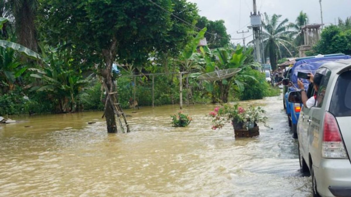


SIMPANG FOUR - Around 430 hectares of agricultural land in West Pasaman Regency, West Sumatra was affected by the flood that occurred on Friday. "The temporary data collection of officers in the agricultural land area of 430 hectares in four sub-districts in," said Head of the West Pasaman Food Crops and Horticulture Office, Doddy San Ismail, quoted by ANTARA, Sunday, September 25.430 hectares of the land is located in Ranah Batahan Subdistrict covering an area of 226.5 hectares, Koto Balingka District 21.5 hectares, Lembah Melintang District 173 hectares and in Sasak Ranah Pasisia District covering an area of 10 hectares. "If later after checking it turns out that it is in the category of crop failure, then it will propose the assistance of seeds or rice seeds. The area affected by the flood disaster based on data from the West Pasaman Regional Disaster Management Agency (BPBD) is the Melintang Valley District with an average water level of around 50-150 centimeters with 592 submerged houses, one Banjar Bahal Grand Mosque worship house. Koto Sawah Nagari and SD Negeri 25 Lembah Melintang were flooded. Furthermore, in Sungai Beremas District the water level is about 30 to 50 centimeters located in Jorong Bungo Tanjung.
اقرأ أيضا:
-
 | BERITA
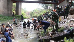
Wali Kota Serang Bersihkan Tumpukan Sampah di Aliran Sungai Cibanten
23 September 2023, 16:55


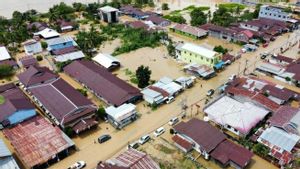
Then in Koto Balingka District, the water level is around 30-50 centimeters with a total of 60 families affected by the flood. Furthermore, in Ranah Batahan District, the height reaches 60-100 centimeters, submerging 310 residents' houses, and puddles in Sawah Laweh Nagari, West Baru Village are expected to fail to harvest.
The English, Chinese, Japanese, Arabic, and French versions are automatically generated by the AI. So there may still be inaccuracies in translating, please always see Indonesian as our main language. (system supported by DigitalSiber.id)
العلامات الأكثر شيوعًا
#Prabowo Subianto #جولكار #انتخابات جاكرتا #المقامرة عبر الإنترنت #Mount Lewotobi maleجمع