JAKARTA - BMKG said that the seeds of cyclone 98S which are currently being monitored are in the Timor Sea southwest of Saumlaki, Tanimbar Islands Regency, Maluku Province, with a high potential to grow into tropical cyclones in the next 24 hours.
According to the BMKG press release, the observed cyclone seeds are at coordinates 11.0 deg South Latitude and 128.4 deg East Longitude has a maximum wind speed of 30 knots and a minimum air pressure of 1,000 mb.
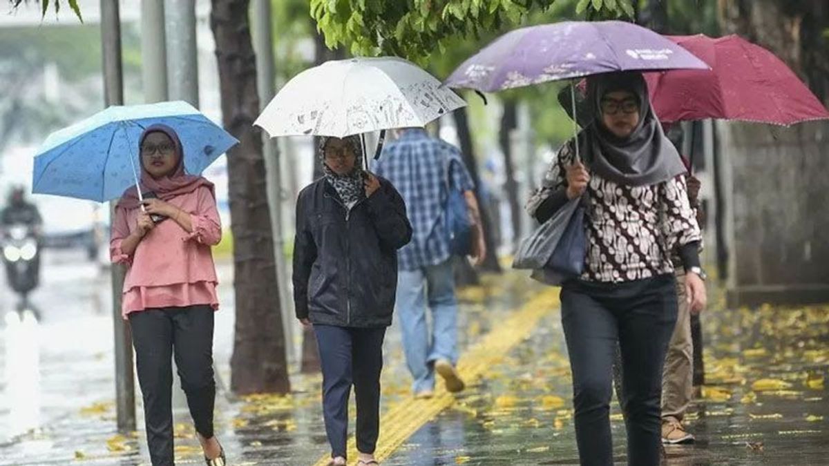
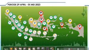
The presence of the 98S cyclone seeds in 24 hours can have an indirect impact on weather conditions in parts of Indonesia, causing the potential for moderate to very heavy rain in the regions of West Nusa Tenggara, East Nusa Tenggara, Maluku, and Papua as well as strong winds in the regions of East Nusa Tenggara, Maluku and Papua.
The cyclone seeds also affect wave heights in Indonesian waters, including causing waves as high as 1.25 to 2.5 meters in the waters of the Selayar Islands, the waters of the Baubau Islands, the waters of the Wakatobi Islands, the Flores Sea, and the waters of Kupang-Rotte Island.
另请阅读:
Waves as high as 1.25 to 2.5 meters also have the opportunity to approach the waters of Sawu Island, Sawu Sea, Ombai Strait, East Nusa Tenggara southern Indian Ocean, southern Ambon waters, Seram Sea, Fakfak and Kaimana Waters, Kai Islands waters - Aru Islands, and the central and eastern Arafuru Sea.
In addition, waves as high as 2.5 to four meters have the potential to visit the Banda Sea, the waters of the Sermata Islands-Island of Letti-Babar Islands-Tanimbar Islands, and the western part of the Arafuru Sea.
Areas that have the opportunity to experience moderate to heavy rain and areas that may be affected by high waves can take mitigation steps to minimize the risk of disasters due to heavy rains and high waves.
The English, Chinese, Japanese, Arabic, and French versions are automatically generated by the AI. So there may still be inaccuracies in translating, please always see Indonesian as our main language. (system supported by DigitalSiber.id)
