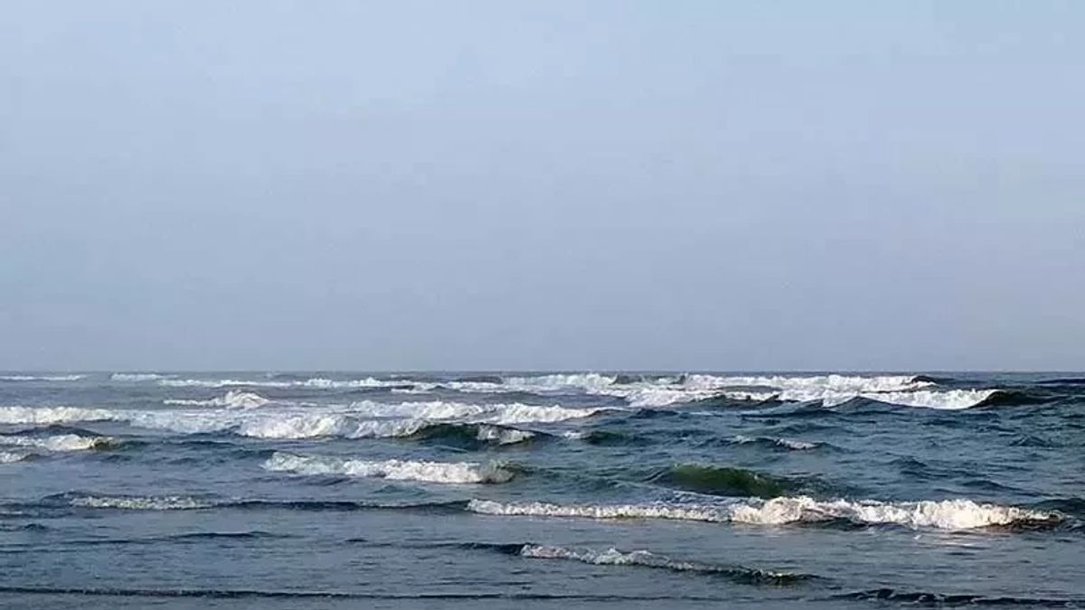


JAKARTA - Homecomers are asked to be aware of the potential for sea waves to be estimated up to 2.5 meters in Bali waters during the peak of Eid homecoming, April 7-9, 2024.
"Be aware of the potential for sea wave heights," said Head of the Center for Meteorology, Climatology and Geophysics (BBMKG) Region III Denpasar Cahyo Nugroho quoting Antara.
Based on the Denpasar BBMKG analysis, the potential for sea wave heights is influenced by opportunities to increase wind speed.
BBMKG Denpasar said that during the period 7-9 April 2024, the dominant wind was blowing from the west-north with an estimated speed of up to 4-30 knots or around 7-55.5 kilometers per hour.
Denpasar BBMKG maps the sea wave height to an estimated 2.5 meters, potentially occurring in the southern part of the Bali Strait, Badung Strait, southern Lombok Strait, and southern Bali waters.
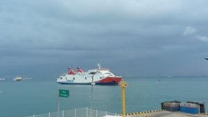
The Bali Strait is a crossing from Bali to Java, the Badung Strait is a crossing from Denpasar to Nusa Penida Island, while the Lombok Strait is a crossing from Bali to Lombok, West Nusa Tenggara.
Denpasar BBMKG conveyed that wind conditions and sea waves pose a risk to shipping safety.
Fishermen's boat users are asked to be aware of wind speeds of more than 15 knots and wave heights above 1.25 meters, barge operators are advised to be vigilant when the wind is over 16 knots and the wave height is above 1.5 meters.
Ferry operators are asked to be aware of wind speeds of more than 21 knots and wave heights above 2.5 meters.
On Thursday (4/4), BMKG detected the emergence of new tropical cyclone 96S seeds around the Savu Sea and was identified as showing a tendency to gradually strengthen in the next few days.
관련 항목:

Tropical Cyclone 96S seeds have been identified as showing a tendency to gradually strengthen in the next few days with maximum wind speed around the Cyclone 96S Seed system ranging from 15-20 knots or 28-37 kilometers per hour.
The pressure at the center is around 1,007 millibars (mb) with movements to the southwest to the south, away from the southern waters of NTT.
The Cyclone 96S Seed system around the NTT region can have a direct and indirect impact on weather conditions in several parts of Indonesia in the next 24-48 hours, namely rain with moderate to very heavy intensity in the areas of Bali, West Nusa Tenggara, and East Nusa Tenggara.
In addition, the potential for strong winds around East Java, Bali, West Nusa Tenggara, and East Nusa Tenggara and the potential for high waves in a number of waters.
The English, Chinese, Japanese, Arabic, and French versions are automatically generated by the AI. So there may still be inaccuracies in translating, please always see Indonesian as our main language. (system supported by DigitalSiber.id)