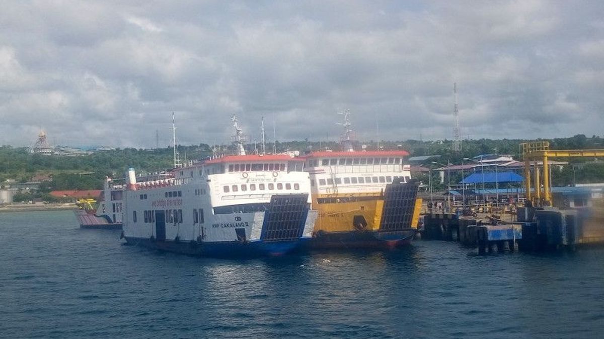


The management of PT Transportation River, Lake and Crossing (ASDP) Indonesia Ferry has temporarily closed the crossing on four shipping routes from Kupang due to extreme weather that hit the area.
General Manager of PT. ASDP Indonesia Ferry Syamsuddin said that the four routes from Kupang that were closed were due to the high waves that hit the waters.
"The question was from Kupang-Aimere-Wayapu and then Kupang-Sabu-Ende," he was quoted as saying by ANTARA, Monday, February 13.
He said that the closure of a number of crossing routes was for the safety of passengers, considering that extreme weather is currently hitting the waters of NTT.
Furthermore, he said, his party also continued to follow orders from the Coordinator of the Bolok Port Service Unit related to ship departures.
However, he said how long the two lanes will be temporarily closed depending on his side seeing the situation and conditions on Tuesday (14/2) tomorrow.
Meanwhile, the Kupang-Hansisi crossing route for Semau Island, Kupang Regency continues to operate as usual both in the morning and evening.
With the current weather conditions, he also hopes that ASDP ship service users can understand the closure of a number of crossing routes for the time being.
Previously, the Meteorology, Climatology and Geophysics Agency (BMKG) appealed to coastal communities to be aware of the potential for high waves of up to six meters in several Indonesian waters.
Wind patterns in the northern part of Indonesia are dominantly moving from the north-northeast with wind speeds ranging from 5-20 knots, while in the southern part of Indonesia, the dominant movement from the west-northwest with wind speeds ranging from 5-35 knots.
Then the highest wind speed was observed in the Banda Sea, the waters of the Tanimbar Islands- Kai Islands-Aru Islands, Amamapare-Agats and Arafuru Sea waters.
This has led to an opportunity to increase waves as high as 1.25-2.5 meters in the waters north of Sabang, the western waters of Aceh, the western waters of Simeulue Island-Nias Islands, the waters of the Mentawai Islands, the waters of Enggano Island-Bengkulu Island.
Also the southern part of Lampung Bay, West Indian Ocean Aceh-Nias Islands, the southern part of the Bali-Lombok-Alas-Sape Strait, Sumba Strait, Savu Sea, Ombai Strait and Wetar Strait, North Natuna Sea, waters north of the Natuna Islands, waters of the Thousand Islands.
The English, Chinese, Japanese, Arabic, and French versions are automatically generated by the AI. So there may still be inaccuracies in translating, please always see Indonesian as our main language. (system supported by DigitalSiber.id)