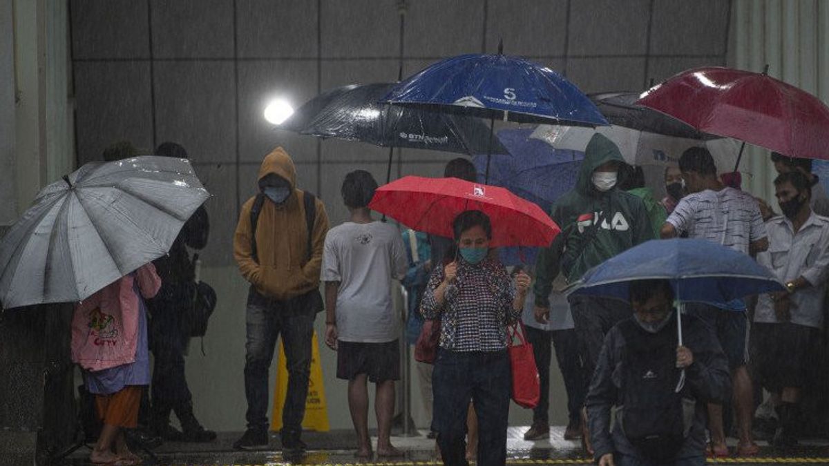
JAKARTA - The DKI Jakarta Regional Disaster Management Agency (BPBD) noted that there were still 9 roads in North Jakarta and West Jakarta that were flooded as of 18.00 WIB. Meanwhile, 20 roads that had been inundated have now receded.
This inundation occurs due to moderate to heavy rains that hit most areas in DKI Jakarta.
"BPBD noted that what previously happened on 7 roads is currently 21 roads inundated," said Head of BPBD DKI Jakarta Isnawa Adji in his statement, Wednesday, February 1.
Isnawa said the DKI Jakarta BPBD mobilized personnel to monitor inundation conditions in each region and coordinate elements of the Natural Resources Service, Highways Service, Gulkarmat Service to carry out inundation suction and ensure water lines function properly together with the local village heads and sub-district heads.
"The inundation is targeted to recede in a short time," he said.
Jalan tergenang di Jakarta Utara di antaranya:
1. Jalan Sungai Begog, Kel. Semper Timur, Kec. Cilincing (water level 15 to 20 centimeters)2. Jalan Yos Sudarso, Kel. Kebon Bawang, Kec. Tanjung Priok (water level 10 to 15 centimeters)3. Jalan Agung Karya IV, Kel. Sungai Bambu, Kec. Tanjung Priok (water level 10 centimeters)4. Jalan Raya Cilincing, Kel. Semper Barat kec. Cilincing (water level 25 to 30 centimeters)5. Plumpang Semper Street, Kel. Tugu Selatan, Kec. Koja (water level 10 to 20 centimeters)6. Jalan Mahoni, Kel. North Tugu, Kec. Koja (water level 10 to 15 centimeters)7. Jalan Gaya Motor Raya Raya, Kel. Sungai Bambu, Kec. Tanjung Priok (water level 10 centimeters)8. Jalan Gaya Motor II, Kel. Sungai Bambu, Kec. Tanjung Priok (water level 30 centimeters)
Meanwhile, the flooded road in West Jakarta is located at:
1. Jalan Nusa Indah Timur, Kel. Kapuk, Kec. Cengkareng (20 centimeters water level)
The English, Chinese, Japanese, Arabic, and French versions are automatically generated by the AI. So there may still be inaccuracies in translating, please always see Indonesian as our main language. (system supported by DigitalSiber.id)


