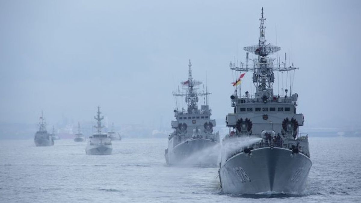


The Indonesian Navy (AL) is following up on data from the hydro-Oceanographic survey to determine maritime boundaries for countries in the Natuna Sea, Riau Islands (Kepri).
The follow-up in the form of Focus Group Discussions (FGD) together with representatives of related Ministries and institutions, namely the Ministry of Maritime Affairs, the Ministry of Foreign Affairs, the Geospatial Information Agency (BIG) and the Ministry of Defense.
"FGD was held with the aim of providing information and obtaining input from related institutions and experts as material in formulating policies in determining national maritime boundaries," said the Commander of the Indonesian Navy's Hydro-oceanography Center (Pushidrosal) Vice Admiral TNI Nurhidayat in a press statement, quoted from Antara, Thursday, November 10.
The FGD was held at KRI Spica-934 while sailing in the Natuna Sea, Wednesday 9 November.
Nurhidayat explained, in the FGD the topic discussed regarding the connection of hydro-oceanographic data with the determination of maritime boundaries, including hydro-oceanographic data to support the delimitation of maritime boundaries and fulfillment of information on military maps of sea aspects in border areas.
"In the FGD, the results of the hydro-oceanographic survey of KRI Spica-934 are also presented, which is currently carrying out a survey in Natuna waters," he said.
During the meeting, he also explained the use of data from hydro-oceanographic surveys to determine the country's maritime boundaries and developments in maritime boundaries negotiations with neighboring countries.
"Meanwhile, the Director General of HPI of the Ministry of Foreign Affairs, L. Amrih Jinangkung, explained the progress of the negotiations on the maritime boundaries of the Republic of Indonesia-Vietnam and Indonesia-Malaysia," he said.
On that occasion, it was also explained about survey equipment ranging from EM-302 Multibeam Echosounder, Remotely Operated Vehicle H800, Autonomous Underwater Vehicle Hugin 1000.
"Local governments, in this case, are very supportive of the North Natuna Sea Focus Group Discussion activity where this can be validation or clarity of mapping the Natuna sea area and also to find out the potentials that are under the Natuna sea," said Natuna Regent Wan Siswandi.
The English, Chinese, Japanese, Arabic, and French versions are automatically generated by the AI. So there may still be inaccuracies in translating, please always see Indonesian as our main language. (system supported by DigitalSiber.id)
Tags les plus populaires
#Prabowo Subianto #Nouvel An #accident d’avion #Hasto Kristiyanto #nataru #squid game 2Populaire