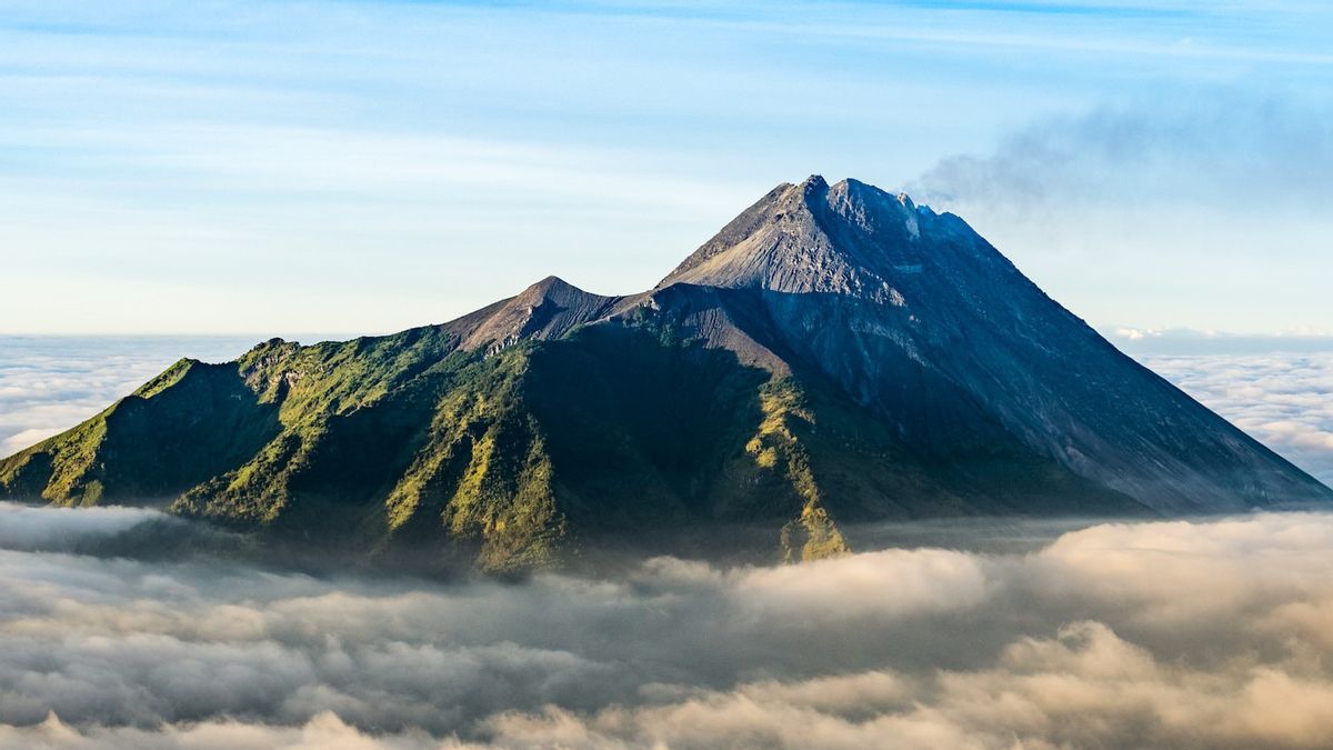


JAKARTA - Mount Merapi on the border between Yogyakarta and Central Java in a week experienced 528 volcanic earthquakes according to the Center for Research and Development of Geological Disaster Technology (BPPTKG) for the Special Region of Yogyakarta.
BPPTKG noted that during September 2 to 8, 2022, Mount Merapi experienced 528 deep volcanic earthquakes (VTA), 19 shallow volcanic earthquakes (VTB), 239 multi-phase earthquakes (MP), 450 avalanches (RF), 76 gusts (DG), and eight tectonic earthquakes (TT).
"The dominant seismic intensity is in the form of an VTA earthquake indicating a magnetic activity at a depth of more than 1.5 kilometers from the summit," said Head of BPPTKG Agus Budi Santoso as quoted in a written statement at the hall in Yogyakarta, Saturday, September 10, quoted from Antara.
In addition, Mount Merapi for September 2 to 8, 2022, was recorded 20 times, releasing lava flows to the southwest to the Bebeng River with a maximum sliding distance of 1,700 meters.
According to morphological analysis conducted by the Tunggularum Camera Station officers, Deles 5, Babadan 2, and Ngepos, the dome on the southwest side of Merapi was not observed to change the height of the dome and the middle dome of Merapi was also not observed. significant morphological changes.
"Based on photo analysis, the volume of the southwest dome remains at 1,624,000 cubic meters, and for the central dome it is 2,772,000 cubic meters," said Agus.
Until now, BPPTKG still maintains the status of Mount Merapi at Level III or Alert.
The lava fall and hot clouds from Mount Merapi can have an impact on areas within the south-southwest sector which includes the Boyong River (a maximum of five km) and the Bedog, Krasak, and Bebeng rivers (a maximum of seven km).
In addition, lava avalanches and hot clouds from Mount Merapi can have an impact on areas in the southeast sector which includes the Woro River (a maximum of three km) and the Gendol River (a distance of five km).
The English, Chinese, Japanese, Arabic, and French versions are automatically generated by the AI. So there may still be inaccuracies in translating, please always see Indonesian as our main language. (system supported by DigitalSiber.id)
Tags les plus populaires
#Prabowo Subianto #Golkar #élections jakarta #jeux d’argent en ligne #Mount Lewotobi malePopulaire