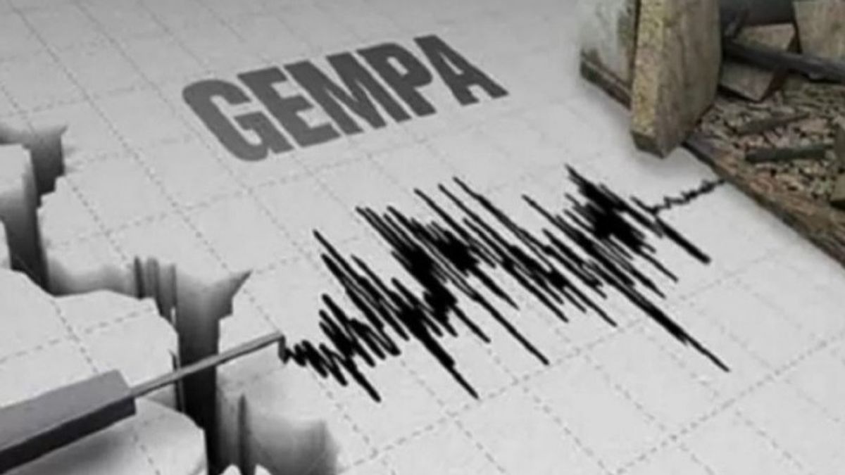


JAKARTA - According to the Meteorology, Climatology and Geophysics Agency (BMKG), the epicenter of the earthquake was at coordinates 3.88 latitude- 135.56 east longitude or 46 km southwest Nabire with a depth of 20km. The earthquake was felt on the MMI II-III scale in Nabire. The second scale means that several people feel the vibrations, light objects that are hung sway. While the III scale means that the vibrations are felt inside the house, as if a truck was passing .
The English, Chinese, Japanese, Arabic, and French versions are automatically generated by the AI. So there may still be inaccuracies in translating, please always see Indonesian as our main language. (system supported by DigitalSiber.id)
Tags les plus populaires
#Palestine #Bssn #election 2024 #European Cup 2024 #america cup 2024Populaire


30 Juni 2024, 02:35