

JAKARTA - The National Research and Innovation Agency (BRIN) said that they continue to monitor Sumatra areas affected by large floods and landslides. This monitoring is carried out with satellite data.
Through the task force supporting disaster management, BRIN analyzed remote sensing satellite data since the first day of the disaster. This monitoring includes several provinces, including Aceh, North Sumatra, and West Sumatra.
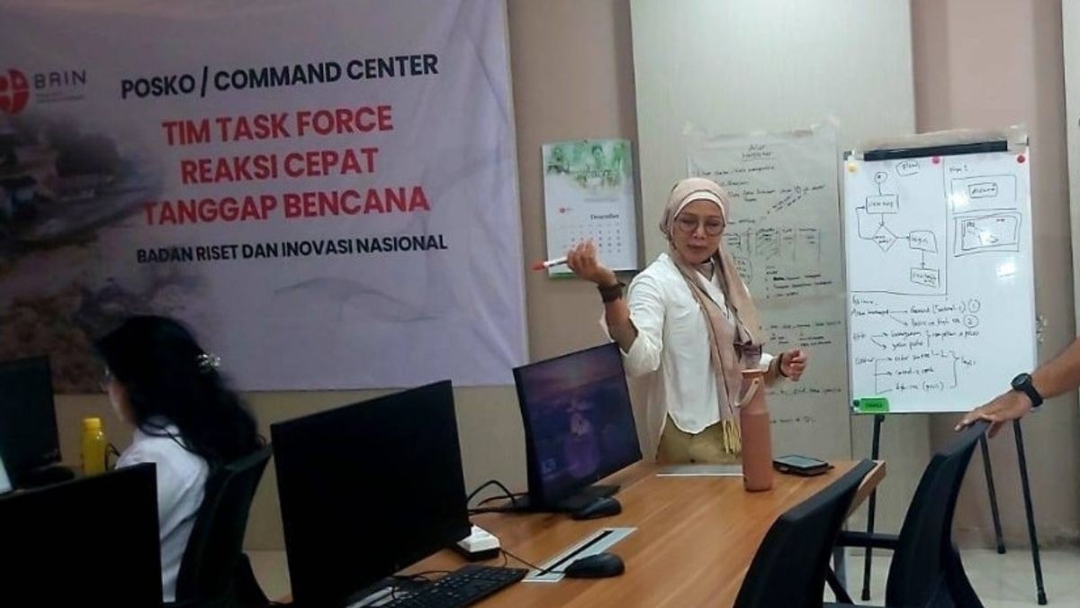
"We have analyzed available satellite data, both free and paid, to monitor the location and estimate the number of buildings or settlements affected by floods and landslides," said BRIN's Financial Data Analyst Team Coordinator, Yenni Vetrita, in a statement on Thursday, December 4.
SEE ALSO:
-
 | TEKNOLOGI
Roblox Dilarang di Rusia karena Konten LGBTQ, Jutaan Pengguna Terdampak
04 Desember 2025, 12:05 -
 | TEKNOLOGI
Spotify Rilis Wrapped 2025, Ada Wrapped Party hingga Listening Archive
04 Desember 2025, 11:31 -
 | TEKNOLOGI
Chrome untuk Android Kini Bisa Sematkan Tab, Pengalaman Browsing Makin Praktis
04 Desember 2025, 11:05 -
 | TEKNOLOGI
Fitur Peringatan Hipertensi dan Sleep Apnea Apple Watch Hadir di Lebih Banyak Negara
04 Desember 2025, 09:35

BRIN explained that monitoring of affected areas using satellite data is important for policy makers. This data can provide an overview of the conditions after the disaster, much earlier than the results of field surveys.
According to Yenni, this satellite data is very crucial for the central and regional governments in determining priority areas that require emergency handling. Thus, the evacuation process, distribution of aid, and other needs can be faster and more precise.
In observing the impact and post-disaster situation, BRIN partnered with many parties to update data, both domestically and abroad. This research institute cooperates with domestic institutions such as BNPB and the Ministry of Defense.
BRIN also involves international organizations such as Sentinel Asia and Disaster Charter International. Information on the results of BRIN analysis is all distributed directly to BNPB, provincial BPBD, technical ministries, local officials, and also the public.
The English, Chinese, Japanese, Arabic, and French versions are automatically generated by the AI. So there may still be inaccuracies in translating, please always see Indonesian as our main language. (system supported by DigitalSiber.id)
Most Popular Tags
#Prabowo Subianto #donald trump #Febrie Adriansyah #8791 #giias 2026Popular


