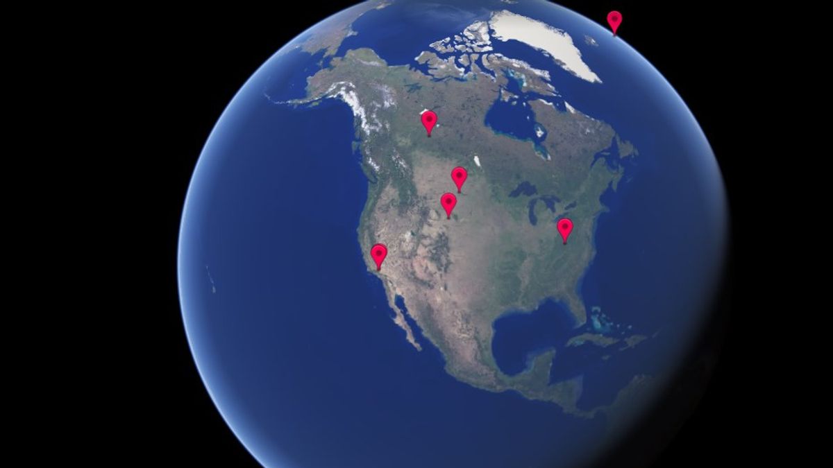
JAKARTA - Google Earth presents a new feature called Timelapse. This brand-new feature can show changes in the Earth from the past to the present. A total of 24 satellite photos taken over the last 37 years have been combined to provide a compelling 4D experience.
Since Google gave a massive update to Google Earth in 2017, billions of people can see Earth from a new perspective.
“Over the past 15 years, billions of people have turned to Google Earth to explore Earth from endless perspectives. Maybe you've peeked at Mount Everest or flew across your hometown", wrote Google.
We're unveiling a new dimension to Google Earth - time. Launched today with @nasaEarth @EU_Commission @USGS @esa, Timelapse in Google Earth provides a better understanding of Earth's dynamic changes. Explore our changing planet: https://t.co/xz95CfPlaN pic.twitter.com/qsqWHsZ2at
- Google Earth (@googleearth) April 15, 2021
For users who want to use this Timelapse feature, users only need to click on the earth.google.com link or g.co/Timelapse. Through this page, users can browse places on Earth in the past few years until now.
You can also click the ship wheel icon on the Google Earth page to find the Timelapse feature included in Google's Voyager to follow an interesting guide. Google has uploaded around 800 Timelapse videos in 2D and 3D formats to the public via the g.co/TimelapseVideos link.
"You can select whatever video you want as an MP4 video that's ready to use or sit back and watch a video on YouTube", wrote Google.
SEE ALSO:
This interactive feature is the result of Google's collaboration with a team of experts from Carnegie Mellon University's CREATE Lap. The two of them work hand in hand to create Timelapse technology.
“When we look at what's happening, five themes emerged: forest change, urban growth, warming temperatures, energy sources, and the beauty of a fragile world. Google Earth takes you on an integrated tour of each topic to better understand it”, said Google.
To add the Timelapse feature in the form of animation to Google Earth, Google had to collect as many as 24 million satellite images taken between 1984 and 2020.
"This work is possible because of the commitment of the US and EU governments to open and access data", wrote Google.
Also, NASA and a number of its programs have played an important role in procuring Timelaps technology in Google Earth.
The English, Chinese, Japanese, Arabic, and French versions are automatically generated by the AI. So there may still be inaccuracies in translating, please always see Indonesian as our main language. (system supported by DigitalSiber.id)


