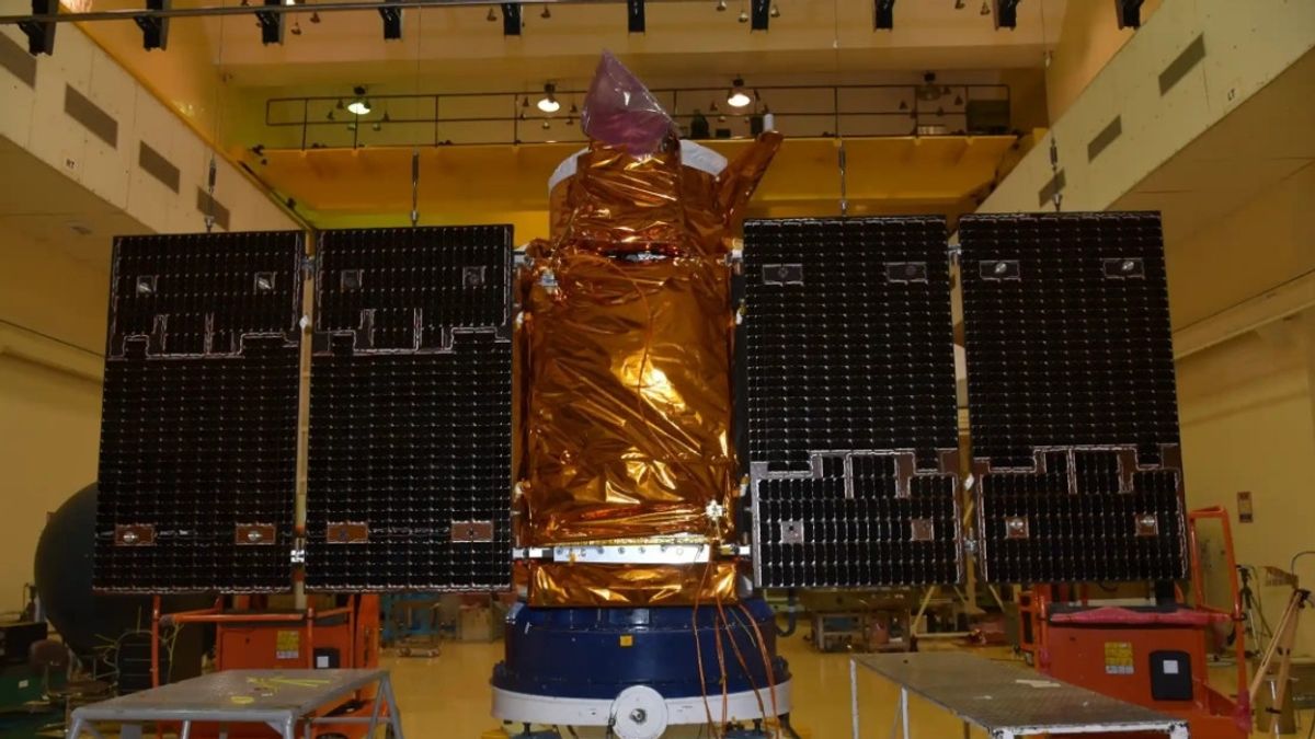
JAKARTA Operating time for Cartosat-2, the high-resolution imaging satellite belonging to the Indian Space Research Organisai (ISRO) has ended. The satellite entered the atmosphere on February 14.
Cartosat-2 was launched in 2007. The 680 kilogram satellite is designed to operate in the Solar Synchron Orbit (SSO) with an altitude of 635 kilometers. However, in 2020, ISRO lowered its orbital altitude.
The decrease in perigee or the closest point to Earth was carried out to comply with international guidelines. With the remaining fuel in Cartosat-2, ISRO changed its altitude to 380 kilometers to mitigate space debris.
"This includes reducing the risk of collisions and ensuring safe end-of-life disposal, following recommendations from organizations such as the United Nations Committee for the Use of Space Peace (UN-COPOPE) and the Debris Coordination Committee (IADC)," ISRO said through its official website.
SEE ALSO:
Before touching the atmosphere, ISRO turned off the power on the satellite, but the tracking system was still active until the de-orbit process was completed. While at an altitude of 130 kilometers, the frametelemetry confirmed that the satellite had been damaged.
After entering and burning in the atmosphere, Cartosat-2 headed to the earth's surface and landed above the Indian Ocean. With the success of the Cartosat-2 process, ISRO has avoided a buildup of garbage in space.
Cartosat-2's success in performing de-orbit at the end of its life is an important step for ISRO in ensuring the long-term sustainability of space activities, "explained ISRO.
The English, Chinese, Japanese, Arabic, and French versions are automatically generated by the AI. So there may still be inaccuracies in translating, please always see Indonesian as our main language. (system supported by DigitalSiber.id)


