

YOGYAKARTA Weather radar is one of the main measuring tools for national meteorological services and other meteorological organizations. The presence of weather radar allows meteorological institutions to predict rainfall and predict weather. So, how does the weather radar work?
Quoted from the Weather Station Advisor page, it is a very important tool in the meteorologist's equipment box.
This tool allows weather experts to detect rainfall and predict weather. Like cloud satellite imagery, radar helps meteorologists better understand the weather around them, resulting in more reliable weather forecasts.
Radar (approximation from Radio Detection and Ranging) and its use in the weather were actually found accidentally.
With the increasing use of radar to detect enemy ships and aircraft during World War II, radar operators found rainfall also caused spurious echoes on their screens.
Military radar is reused for meteorological use after World War II, and further enhancement of its rainfall detection capabilities. Today's weather radar image that you find on weather radar apps is much different from the first radar in the 1950s, but the core concept is the same.
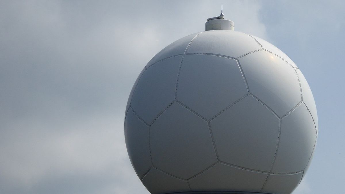
All radars work with the same principles, whatever the technology. Radar requires an antenna to emit radio waves to the outside.
What if there are objects in the air such as rain, the radio waves emitted bounce off the object and spread.
Some of these scattered radio waves are reflected back on radar, with larger objects reflecting more.
Differences in reflectivity are plotted on maps to provide a precipitation display that is within radar range, providing images that you see on your TV, web, and radar apps.
How Doppler Radar Works
The Doppler radar is a dedicated radar exploited by the Doppler effect to generate velocity data about objects in the distance. This is done with microwave signals towards the desired target and listening to reflection, then analyzing how the frequency of the return signal has been changed by object motion
Doppler radar works slightly differently from older weather radars. In addition to only measuring precipitation reflectivity, Doppler radar is used by weather experts to measure the speed of precipitation movement towards or away from radar.
This allows meteorologists to measure wind speeds, making them very useful in detecting tornadoes.
Previously, meteorologists had to look for visual clues, called "hook echo", to find tornadoes in the storm. Because not every tornado produces this hook echo, many are missed.
For more information, the use of radar has revolutionized weather forecasts, especially during bad weather.
Meteorological experts do not stop with Doppler radar: New technologies such as a phased array radar (phased radar array) will improve detection, and also dramatically increase scanning time.
That's the information on how weather radar works. Hopefully this article can add insight to the loyal readers of VOI.ID.
The English, Chinese, Japanese, Arabic, and French versions are automatically generated by the AI. So there may still be inaccuracies in translating, please always see Indonesian as our main language. (system supported by DigitalSiber.id)
Most Popular Tags
#Prabowo Subianto #donald trump #2026 World Cup #Febrie Adriansyah #8791Popular


