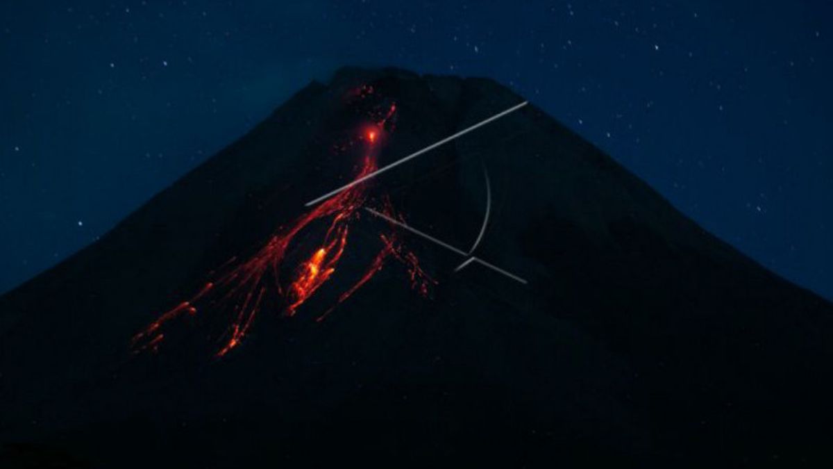


YOGYAKARTA - The Center for Research and Development of Geological Disaster Technology (BPPTKG) said Mount Merapi on the border of Central Java and the Special Region of Yogyakarta launched lava avalanches 144 times during the week.
"Lava falls were observed 144 times to the southwest with a maximum sliding distance of 2,000 meters," said Head of BPPTKG Hanik Humaida as quoted by Antara, Friday, September 17.
Based on morphological analysis from Deles 5 Camera Station, Tunggularum, Ngepos, Babadan 2, as well as aerial photos with drones on September 16, 2021, he stated that no significant morphological changes were observed in the southwest lava dome or the central dome.
The volume of the southwest lava dome is 1,550,000 cubic meters and the central dome is 2,854,000 cubic meters.
"The weather around Mount Merapi is generally sunny in the morning and evening, while it is foggy in the afternoon and evening," he said.
The intensity of the Merapi earthquake during the week is still quite high. The deformation of Mount Merapi which was monitored using EDM and GPS did not show any significant changes from the previous week.
"There are no reports of rain, lahars, or additional flow in the rivers that originate at Mount Merapi," he said.
Hanik concluded that the volcanic activity of Mount Merapi was still quite high in the form of effusive eruption activity.
BPPTKG until now maintains the status of Mount Merapi at Level III or Alert.
Residents are asked to be aware of the potential impact of lava avalanches and hot clouds of Mount Merapi in the south-southwest sector which includes the Yellow, Boyong, Bedog, Krasak, Bebeng, and Putih rivers.
The English, Chinese, Japanese, Arabic, and French versions are automatically generated by the AI. So there may still be inaccuracies in translating, please always see Indonesian as our main language. (system supported by DigitalSiber.id)


