

JAKARTA - Researchers have completed a comprehensive online map of the world's coral reefs, using more than 2 million satellite images from around the world.
The Allen Coral Atlas, as this map is named after Microsoft co-founder Paul Allen, will serve as a reference for coral reef conservation, marine planning, and coral science as researchers try to save fragile ecosystems lost to climate change.
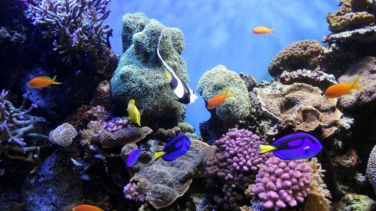
The group announced the completion of the atlas on Wednesday September 8, saying it is the first high-resolution global map of its kind. This gives users the ability to view detailed information about local reefs, including various types of underwater structures such as sand, rocks, seagrass and, of course, corals.
The maps, which cover areas to a depth of 50 feet (15 meters), are used to inform policy decisions on marine protected areas, spatial planning for infrastructure such as docks and seawalls and upcoming coral restoration projects.
"Our biggest contribution to this achievement is that we have a uniform mapping of the entire coral reef biome," said Greg Asner, managing director of Atlas and director of Arizona State University's Center for Global Discovery and Conservation, citing the Korea Times September 9.

Asner says they rely on a network of hundreds of field contributors who provide local information about coral reefs, so they can program their satellites and software to focus on the right areas.
"And that allows us to take it to a level where decisions can be made on a larger scale, because so far decisions have been localized," Asner said.
"If you don't know what you have in a more uniform way, how will the United Nations play a real role? How can a government that has an archipelago of 500 islands make uniform decisions?," he continued.
In addition, the atlas also includes a coral bleaching monitor to check for corals that are stressed due to global warming and other factors.
Asner said about three-quarters of the world's coral reefs had never previously been mapped in such depth, and many had never been mapped at all.
The project began in 2017 when Allen's company Vulcan worked with Ruth Gates, a Hawaiian researcher whose idea of creating a "super reef" for reef restoration was funded by a philanthropic foundation.
Gates and Vulcan brought Asner because of his work with the Global Airborne Observatory which had been mapping coral reefs in Hawaii at the time.

Allen, who says he wants to help save the world's coral reefs, likes the idea of using technology to visualize data. So Gates linked the group to a satellite company called Planet, with Allen funding the project for about $9 million.
The University of Queensland in Australia uses artificial intelligence technology and local reference data to generate layers on the atlas. Anyone can view maps online for free.
Both Allen and Gates died in 2018, leaving Asner and others to continue their work.
"Ruth would be very happy, wouldn't she? She would just be amused that this is actually happening."
Along with this map project, Asner gets frequent phone calls from researchers hoping to use the map, to ensure that their planning and reef restoration work will achieve maximum results.''
When Gates learned of his illness, he selected friend and colleague Helen Fox of the National Geographic Society to help communicate with conservation groups about how to use the device.
"This is truly a global effort. There is a huge effort in terms of outreach and helping people realize the potential scientific and conservation tools and value," said Fox, now director of conservation science for the Coral Reef Alliance.
The English, Chinese, Japanese, Arabic, and French versions are automatically generated by the AI. So there may still be inaccuracies in translating, please always see Indonesian as our main language. (system supported by DigitalSiber.id)


