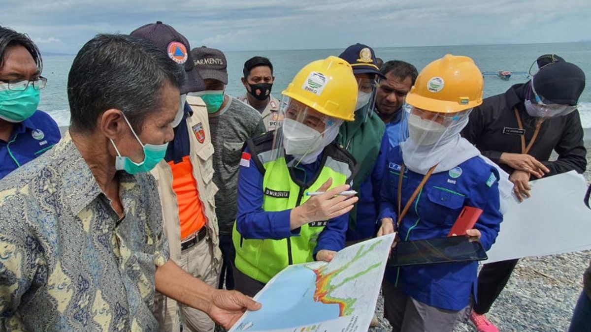


JAKARTA - Head of the Meteorology, Climatology and Geophysics Agency (BMKG) Dwikorita Karnawati said that the Seram Island area, Central Maluku has the potential for a non-tectonic tsunami hazard, or a tsunami that is not caused by a fairly high earthquake.
The results of the search and verification of the hazard zone carried out by the BMKG on Seram Island show that along the coastline of the island is a deep sea with steep cliffs that are very prone to landslides.
"The earthquake triggers landslides which then cause waves. In modeling, it can be concluded whether it has the potential to cause a tsunami or not. It might not, but it turns out that the earthquake actually created an underwater landslide which then triggered a tsunami," said Dwikorita in a statement received in Jakarta. , reported by Antara, Wednesday, September 8.
During his visit to Seram Island some time ago, Dwikorita visited Samasuru Country, Amahai Country, Masohi City, and Tehoru Country.
In the area, apart from verifying the hazard map and following the evacuation route, Dwikorita and the BMKG team with the local BPBD, the Head of the Center for Natural Disaster Studies at Pattimura University, and researchers from LIPI and the Geological Agency directly heard testimonies and stories from residents about the earthquake and tsunami in the past. then.
"In Tehoru Country, I saw firsthand traces of landslides into the sea. In Samsuru, local residents have even calculated the depth of the sea from the shoreline, a distance of 3 meters from the shoreline, the sea depth has reached 23 meters," he said.
Dwikorita said that until now no country has been able to detect non-tectonic tsunamis quickly, precisely and accurately. The early warning system built by countries in the world is a tsunami early warning system due to earthquake shaking.
So far, he said, what can be done is to monitor sea level with a buoy or tide gauge. However, this method is less effective, because the nature of the tool can only inform after the tsunami incident. So, when the tool gives a warning, it is too late because the tsunami has arrived.
"Because it was triggered by an underwater landslide, the estimated time of arrival of the tsunami could be very fast. It only took less than 3 minutes, as happened in Palu, Central Sulawesi," he added.
Therefore, Dwikorita asked the people along the coastline on Seram Island to immediately carry out independent evacuations, if they felt vibrations or ground shaking or earthquakes, without having to wait for the BMKG's early warning.
"Learn from experience, don't wait for a tsunami early warning. Run immediately as soon as you feel the ground shaking or an earthquake. Stay away from the beach and immediately run to the hills or higher places," pleaded Dwikorita.
Dwikorita further said that the Maluku Islands have a long history of earthquakes and tsunamis. Therefore, he hopes that the Regional Government and related parties can carry out various mitigation efforts to reduce the impact and risk of loss, if at any time an earthquake and tsunami disaster occurs.
Dwikorita said that the community must continue to be trained so that they know what to do when a disaster occurs, in addition to preparing evacuation sites that can be reached as quickly as possible, through safe evacuation routes accompanied by clear signs.
The English, Chinese, Japanese, Arabic, and French versions are automatically generated by the AI. So there may still be inaccuracies in translating, please always see Indonesian as our main language. (system supported by DigitalSiber.id)


