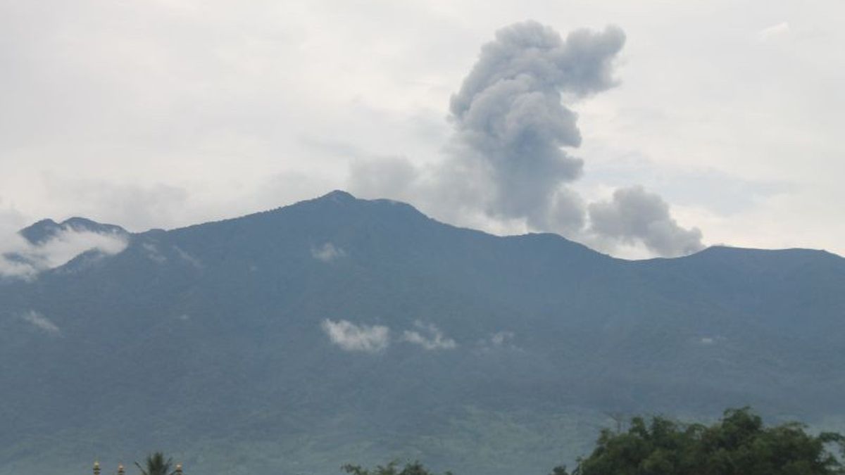


PADANG - The Mount Fire Post (PGA) reported an eruption of Mount Marapi in Agam Regency and Tanah Datar Regency, West Sumatra, at 18.19 WIB with an abumen reach of 600 meters which leads to the northeast.
"The observed ash column is gray with medium intensity and is tilted towards the northeast," said PGA Gunung Marapi Officer Teguh Firmansyah as reported by ANTARA, Thursday, February 5.
The eruption was recorded on the seismogram with a maximum amplitude of 30.2 millimeters, and lasted about 34 seconds.
Previously at 11.27 WIB PGA also reported that Mount Marapi erupted, but the height of the ash column was not observed because it was covered by clouds. PGA recorded the eruption lasted about 25 seconds with a maximum amplitude of 25.9 millimeters.
Currently, Mount Marapi is at Level II (Alert) status.
The Center for Volcanology and Geological Hazard Mitigation (PVMBG) has also issued a number of recommendations, including that the public, climbers, or visitors are asked not to enter or carry out activities within a radius of three kilometers from the center of the eruption (Verbeek Crater) of Mount Marapi.
The next recommendation appeals to people who live around valleys, streams or river banks whose waters flow from the top of Mount Marapi to always be aware of the potential threat of flash flood hazards that can occur, especially during the rainy season.
Then if there is ash rain, the public is advised to use a nose and mouth covering mask to avoid respiratory tract disorders (ispa).
The English, Chinese, Japanese, Arabic, and French versions are automatically generated by the AI. So there may still be inaccuracies in translating, please always see Indonesian as our main language. (system supported by DigitalSiber.id)
Most Popular Tags
#Prabowo Subianto #donald trump #2026 World Cup #venezuela #konflik timur tengahPopular


