

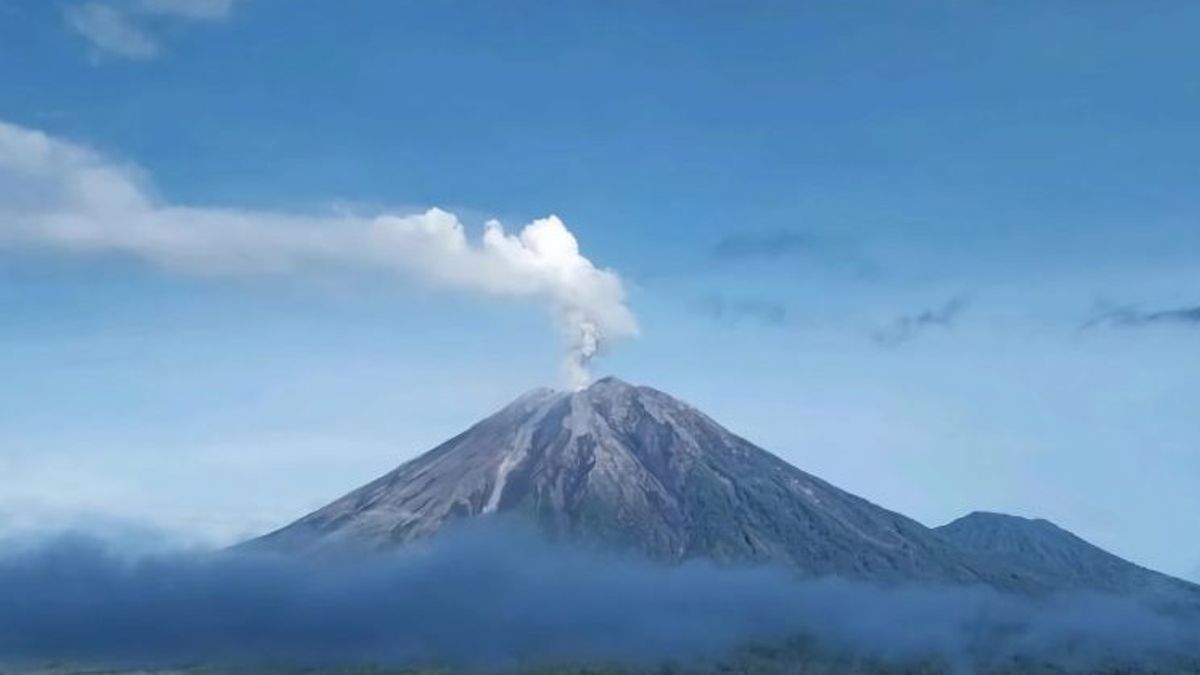


BANDUNG - Geological Agency of the Ministry of Energy and Mineral Resources has increased the status of Mount Semeru activities on the border of Lumajang and Malang Regencies, East Java to Level IV (Awas), starting Wednesday at 17.00 WIB.
Head of the Geological Agency Muhammad Wafid said the status increase was carried out after the results of visual and instrumental monitoring showed that volcanic activity was still high and unstable.
"The increase in the activity level of Mount Semeru from level III (Alert) to Level IV (Awas) at 17.00 WIB," said Wafid as quoted by ANTARA, Wednesday, November 19.
The Geological Agency recommends that people, climbers, and tourists do not carry out activities within a radius of eight kilometers from the mountain crater as well as the west to northeastern sector as far as 20 kilometers from the eruption center.
In addition, the public is asked to be aware of the potential for lava flooding in the event of heavy rain, especially in the southeast sector along Besuk Kobokan, as far as eight kilometers from the peak of the eruption.
"Out of these distances, people do not carry out activities at a distance of 500 meters from the length of Besuk Kobokan because it has the potential to be affected by the expansion of hot clouds and lava flows up to a distance of 13 kilometers from the summit," he said.
He also advised residents affected by the spread of volcanic ash to use masks or nasal and mouth coverings to avoid respiratory tract problems.
Previously, Mount Semeru, which had a height of 3,676 meters above sea level (masl), experienced an eruption accompanied by a Volcano of hot clouds as far as 7 kilometers from the summit on Wednesday afternoon.
"The eruption in the form of hot clouds is still ongoing, the sliding distance has reached 7 km from the summit, and the eruption is still ongoing when the report is being made," said Mount Semeru Observation Post Officer Mukdas Sofian in a written report received in Lumajang.
According to him, the eruption of Mount Semeru occurred at 16.00 WIB with an eruption column height of about 2,000 meters above the peak or 5,676 meters above the peak.
"The ash column was observed to be gray with thick intensity to the north and northwest. When the report was made, the eruption was still ongoing," he said.
The English, Chinese, Japanese, Arabic, and French versions are automatically generated by the AI. So there may still be inaccuracies in translating, please always see Indonesian as our main language. (system supported by DigitalSiber.id)


