

JAKARTA - The tremors of lava flooding in Mount Semeru in Lumajang Regency, East Java were recorded for more than 5 hours on Friday night, June 27. This is because heavy rains hit the highest mountain peak on the island of Java.
"Based on observations of the seismicity of Semeru activity, there were 1 flood vibration earthquake with an amplitude of 20 mm, and an earthquake of 19,800 seconds or about 5.5 hours," said Mount Semeru Observation Post Officer Mukdas Sofian in a written report received in Lumajang, Saturday morning.
During the 24-hour earthquake observation period on Friday (27/6), Mount Semeru recorded 36 eruptions/eruption earthquakes with an amplitude of 10-22 mm and an earthquake of 62.5 seconds.
"Semeru also experienced 7 earthquake gusts with an amplitude of 4-8 mm and an earthquake of 42-91 seconds," he said.
Then also recorded 2 harmonics with an amplitude of 5 mm and 1 distant tectonic earthquake with an amplitude of 10 mm, S-P 22 seconds and an earthquake length of 48 seconds.
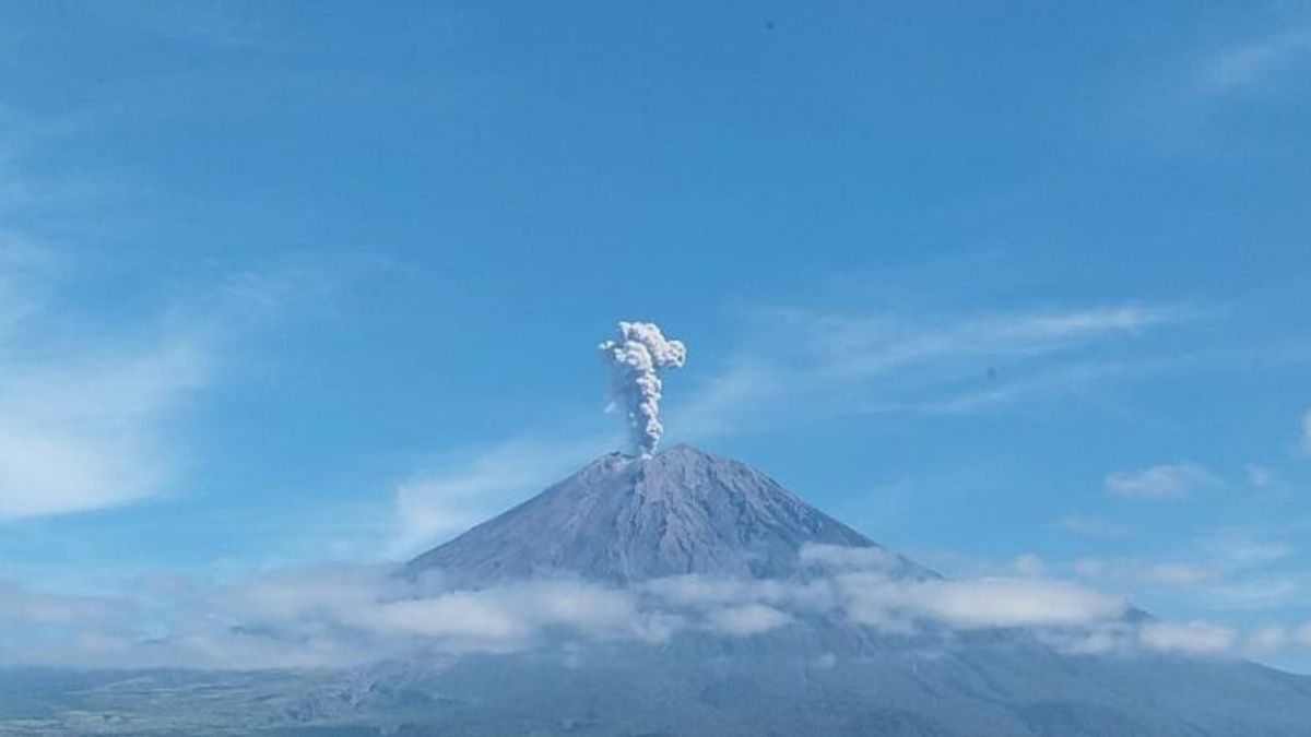
"Visual monitoring of Mount Semeru is covered in fog 0-II until it is covered with fog 0-III. The crater smoke is not observed. The weather is cloudy to the rain, the wind is weak to moderate to the west and northwest," he said.
Mukdas explained that Mount Semeru is still on alert status, so the Center for Volcanology and Geological Hazard Mitigation (PVMBG) provides a number of recommendations, namely that people are prohibited from carrying out any activity in the southeast sector along Besuk Kobokan as far as eight kilometers from the summit (the center of the eruption).
SEE ALSO:
-
 | BERITA
Pangdam Merdeka Ingatkan Tim Seleksi Calon Taruna Kedepankan Integritas
28 Juni 2025, 05:10 -
 | BERITA
Antrean Haji di Rejang Lebong Tembus 23 Tahun, Pendaftar Hampir 5.000 Orang
27 Juni 2025, 23:45

Beyond that distance, he said, people should not carry out activities at a distance of 500 meters from the riverbank (river border) along Besuk Kobokan, because it has the potential to be affected by the expansion of hot clouds and lava flows up to a distance of 13 kilometers from the summit.
The public is also advised not to move within a three-kilometer radius of the crater/peak of Mount Semeru because it is prone to the dangers of incandescent stones.
He further said that the public needs to be aware of the potential for hot clouds, lava avalanches, and rain lava along rivers/valleys whose water flows originate at the top of Mount Semeru, especially along Besuk Kobokan, Besuk Bang, Besuk Kembar, and Besuk Sat, as well as the potential for lava in small rivers which are tributaries of Besuk Kobokan.
The English, Chinese, Japanese, Arabic, and French versions are automatically generated by the AI. So there may still be inaccuracies in translating, please always see Indonesian as our main language. (system supported by DigitalSiber.id)
Most Popular Tags
#Prabowo Subianto #donald trump #2026 World Cup #venezuela #konflik timur tengahPopular


