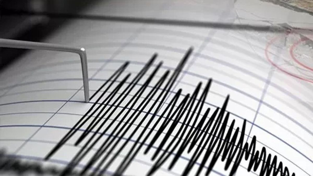


The Meteorology, Climatology and Geophysics Agency (BMKG) detected an earthquake with a magnitude of 5.5 that rocked North Tapanuli Regency, North Sumatra, on Tuesday, March 18, morning.
BMKG in a statement received in Medan stated that the earthquake occurred at 05.22 WIB with coordinates 1.99 North Latitude and 99.12 East Longitude.
The epicenter was at a depth of 10 kilometers or about 17 kilometers southeast of North Tapanuli, 41 kilometers southeast of Toba, 45 kilometers northeast of Central Tapanuli, or 185 kilometers southeast of Medan City.
"The earthquake does not have the potential to cause a tsunami," according to a BMKG report reported by ANTARA.
SEE ALSO:


The public is advised to remain vigilant and follow the guidelines from the local government. BMKG also reminded not to be easily influenced by issues that cannot be justified until the results of a thorough analysis are announced.
Official information about the earthquake can be obtained through the InfoBMKG application, InfoBMKG social media, or directly contact the nearest BMKG office.
The English, Chinese, Japanese, Arabic, and French versions are automatically generated by the AI. So there may still be inaccuracies in translating, please always see Indonesian as our main language. (system supported by DigitalSiber.id)
Most Popular Tags
#Prabowo Subianto #donald trump #2026 World Cup #Febrie Adriansyah #8791Popular


