

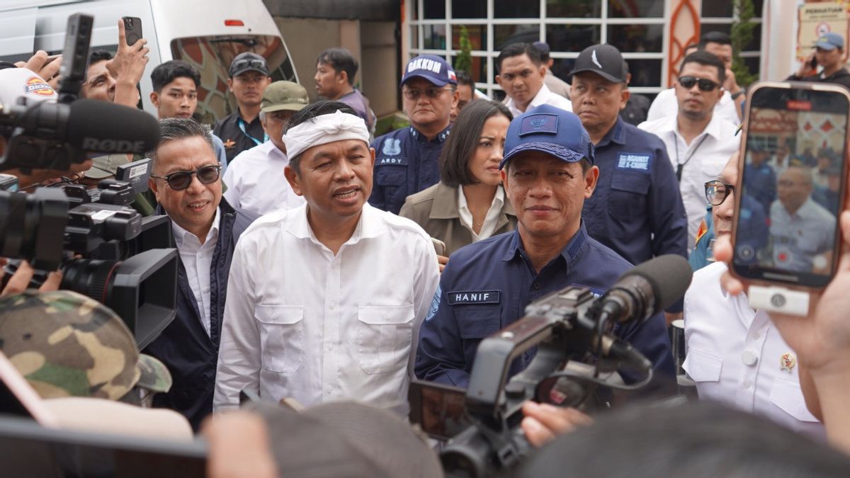


BOGOR Governor of West Java, Dedi Mulyadi, expressed his concern about the many environmental violations in the Puncak forest area, Bogor. Changes in spatial planning that do not match the designation are suspected to be one of the main factors in the occurrence of floods and landslides on March 2.
He highlighted the use of land that exceeded the set limits and errors in determining heights that were not in accordance with regulations.
"Most of these violations are caused by excessive land use and errors in the arrangement of heights. The impact is very detrimental to the environment," said Dedi Mulyadi.
As a firm step, the West Java Provincial Government will immediately demolish all buildings that violate the rules. "Starting today, the area that has been built not according to the rules will be demolished. We will return this area to a green and beneficial tea park for the community," he added.
Local governments are committed to preserving the environment and ensuring that forest and agricultural land areas are still being used sustainably. Governor Dedi Mulyadi also emphasized the importance of community participation in maintaining the ecosystem and preventing further violations.
The Regent of Bogor, Rudy Susmanto, emphasized that his party would immediately take corrective steps to overcome the impact of the changes in the landscape that occurred. According to him, environmental balance must be maintained so as not to have a wider impact, including to downstream areas such as Jakarta.
"We will coordinate with the central and provincial governments to find the best solution. We will immediately encourage the reforestation program, as well as control of buildings in prohibited areas to be carried out according to the rules. Community safety is our priority," said Rudy Susmanto.
The Bogor Regency Government together with law enforcement officials will return the area to its initial function as a water catchment area. It is hoped that, with this concrete step, disasters due to uncontrolled land conversion can be prevented in the future.
The Minister of Environment, Hanif Faisol Nurofiq, explained that since 2010, the 15,000 hectares of area has the main function as a protected forest, national park, and water catchment area.
However, in 2022, the conversion of land functions will occur massively, with around 8,000 hectares turning into agricultural areas. In addition, settlements which were originally only 500 hectares now extend to 1,500 hectares.
In fact, several river bodies have been converted to the construction of resorts and tourist attractions that should be protected.
"We see a very worrying change in spatial planning. The water catchment area should still function properly. If left unchecked, similar disasters will continue to occur," said Hanif Faisol Nurofiq.
SEE ALSO:
-
 | BERITA
Menlu Lavrov Tegaskan Rusia Tidak akan Menoleransi Pasukan NATO di Ukraina
07 Maret 2025, 06:00


As a first step, in the near future the government will install a sign that reads "Under Supervision" in several affected areas and seal 33 points that violate the rules.
Scientific studies will continue to be carried out to determine further law enforcement measures, including the possibility of dismantling unlicensed buildings.
The English, Chinese, Japanese, Arabic, and French versions are automatically generated by the AI. So there may still be inaccuracies in translating, please always see Indonesian as our main language. (system supported by DigitalSiber.id)
Popular


