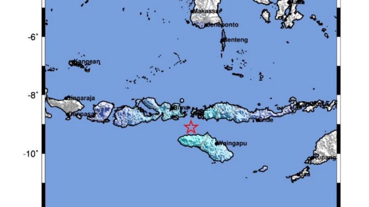


LABUAN BAJO - The Meteorology, Climatology and Geophysics Agency (BMKG) reported a tectonic earthquake measuring 5.3 magnitudes rocked West Sumba Regency, East Nusa Tenggara (NTT), at around 10.55 WIB today.
The earthquake was located in the sea with coordinates 9.11 ° LS; 119.38 ° BT, 38 kilometers northeast of Tambolaka, East Nusa Tenggara at a depth of 51 kilometers.
"The modeling results show that this earthquake has no potential for a tsunami," said Head of the BMKG Earthquake and Tsunami Center Daryono in a statement received in Labuan Bajo, Antara, Friday, August 23.
Paying attention to the location of the epicenter and the depth of the hypocenter, the earthquake that occurred was a shallow type of earthquake due to rock deformation in the slab.
The results of the analysis of the source mechanism show that the earthquake has a sliding mechanism (strike-slip).
Meanwhile, this earthquake had an impact and was also felt in the Labuan Bajo, Central Sumba and Tambolaka areas with an intensity scale of III-IV MMI. Then, the areas of Dompu, Bima, West Sumba, and East Sumba with an intensity scale of III MMI, Ruteng and Sumbawa areas with an intensity scale of II MMI.
As of 11.35 WIB, the results of BMKG monitoring showed that there was one aftershock activity measuring 3.0 magnitude. Furthermore, BMKG appealed to residents to remain calm and not be influenced by issues that cannot be justified.
Residents are also asked to avoid buildings that are cracked or damaged by the earthquake and to inspect and ensure that residential buildings are earthquake-resistant enough, or that there is no damage caused by earthquake vibrations that endanger the stability of the building before returning to the house.
SEE ALSO:
-
 | BERITA
Pengesahan Revisi UU Pilkada Batal, Pendaftaran Calon Tetap Pakai Putusan MK
22 Agustus 2024, 17:57 -
 | BERITA
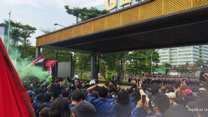
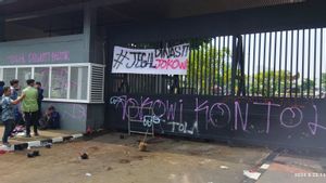
Mahasiswa Berhasil Robohkan Pagar Gerbang Pancasila Gedung DPR MPR RI
22 Agustus 2024, 14:54 -
 | BERITA
Mahasiswa Tinggalkan Gerbang Pancasila di Belakang Gedung DPR MPR RI
22 Agustus 2024, 14:42
The English, Chinese, Japanese, Arabic, and French versions are automatically generated by the AI. So there may still be inaccuracies in translating, please always see Indonesian as our main language. (system supported by DigitalSiber.id)
Add VOI as a Preferred Source
Follow VOI news updates across Google.
+
Most Popular Tags
#Prabowo Subianto #donald trump #2026 World Cup #venezuela #Bhayangkara hut #konflik timur tengahPopular


03 Juli 2026, 09:00


