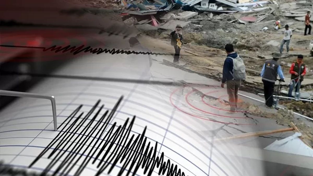


JAKARTA - The Meteorology, Climatology and Geophysics Agency (BMKG) stated that an earthquake with a magnitude of 5.8 occurred in Papua and was a shallow type of earthquake due to local fault activity in the Sesar Meramo Zone.
"The results of the BMKG analysis show that this earthquake has updated parameters with a magnitude of M 5.5," said Head of the BMKG Earthquake and Tsunami Center Daryono quoting Antara.
According to him, by paying attention to the location of the epicenter or point of the earth and the depth of the hypocenter, the earthquake that occurred was a shallow type due to local fault activity in the Memberamo Fault Zone.
He explained that the results of the analysis of the source mechanism showed that the earthquake had an upward movement mechanism.
Meanwhile, Daryono continued, the earthquake had an impact and was felt in the Jayapura Regency area with an intensity scale of III MMI, namely vibrations felt real in the house, and vibrations felt as if a truck was passing.
"The modeling results show that this earthquake has no potential for a tsunami," he said.
He added that until 23.55 WIB, the results of BMKG monitoring had not shown any aftershock activity.
For this reason, the public is advised to remain calm and not be influenced by issues that cannot be justified. In addition, the community should avoid buildings that are cracked or damaged by the earthquake.
SEE ALSO:
-
 | EKONOMI
Melihat Sederet Komponen Keselamatan di Terowongan Kembar Tol Cisumdawu
07 Juni 2024, 11:28


"Check and make sure the residential buildings are earthquake-resistant enough, or there is no damage due to earthquake vibrations that endanger the stability of the building before returning to the house," he said.
The Meteorology, Climatology and Geophysics Agency (BMKG) reported that an earthquake measuring 5.8 magnitudes rocked the Kobagma District in the Meramo Tengah highlands, Papua Mountains, Friday night at around 23.31 WIB.
In an early warning that was exposed through the infoBMKG application system in Jakarta, Friday, reported that the earthquake was centered on land with a depth of 45 kilometers at coordinates 2.86 South Latitude,139.37 East Longitude or 95 kilometers from the Northeast of Kobagma.
The English, Chinese, Japanese, Arabic, and French versions are automatically generated by the AI. So there may still be inaccuracies in translating, please always see Indonesian as our main language. (system supported by DigitalSiber.id)


