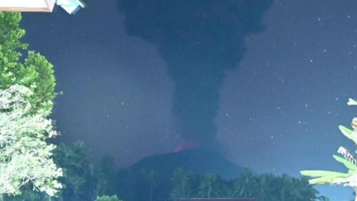


The Center for Volcanology and Geological Hazard Mitigation (PVMBG) reported that Mount Ibu on Halmahera Island, North Maluku, erupted on Wednesday at 01.58 WIT with a column height of ash about 2,000 meters above its peak.
As reported by the Magma Indonesia page, the ash column was observed to be gray to black with thick intensity to the east and southeast. The eruption was recorded on a seismograph with a maximum amplitude of 28 mm and a duration of 127 seconds.
Communities around the mountain, including tourists, are advised not to move within a 2 km radius and a sectoral expansion 3.5 km to the crater opening in the north of the active crater.
In the event of ash rain, people who are active outside the home are advised to use a nose, mouth (mask) and eyes (glasses).
The public is also asked to always follow directions from the local government.
All parties are advised to maintain a conducive atmosphere, not spread false narratives, and not be provoked by issues with unclear sources.
Mount Ibu with a height of 1,325 meters above sea level is located northwest of Halmahera Island and has Level II (Alert) status.
SEE ALSO:


The peak of the volcano, which is active, is a volcanic crater with a width of 1 kilometer and a depth of 400 meters, while the outer part is 1.2 kilometers wide.
On April 28, 2024, Mount Ibu recorded eight earthquake eruptions, two earthquake avalanches, 43 earthquake gusts, six harmonic earthquakes, one tornillo earthquake, 451 shallow volcanic earthquakes, eight deep volcanic earthquakes, and 22 distant tectonic earthquakes.
The English, Chinese, Japanese, Arabic, and French versions are automatically generated by the AI. So there may still be inaccuracies in translating, please always see Indonesian as our main language. (system supported by DigitalSiber.id)


