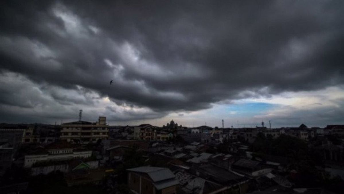
JAKARTA - In April 2024, which is the transition period for the season, extreme weather still lurks a number of areas in Indonesia. The Meteorology, Climatology and Geophysics Agency (BMKG) noted that rain with very heavy to extreme intensity still occurs in several areas.
Among others in Banjarbaru, South Kalimantan, North Luwu in South Sulawesi, Tanjung Perak in Surabaya, and Kapuas Hulu in West Kalimantan.
According to the BMKG, from May to August 2024, it is estimated that around 63% of the season zone area will enter the beginning of the dry season. However, until mid-April 2024, some areas still experience rain.
BMKG also estimates that there will be a potential for a significant increase in rainfall within the next week. Rain is expected to flush most parts of Sumatra, parts of Kalimantan and Sulawesi, western and central Java, mostly Papua, and Maluku.
"This significant rain potential is caused by contributions from kelvin and rossby equatorial waves, mid-department oscillation (MJO) activities, as well as warmer sea level temperatures in Indonesian waters. This can trigger rain cloud growth in several parts of Indonesia," said Deputy for Meteorology BMKG Guswanto in his official statement, Monday, April 29.
SEE ALSO:
Meanwhile, heat waves or heat waves have also hit several countries in Southeast Asia, including Thailand which is adjacent to Indonesia. Thailand recorded a maximum temperature of 52 degrees Celsius.
Regarding the phenomenon of hot temperatures that occurred in parts of Indonesia in April 2024, Guswanto explained that this condition occurred due to the apparent position of the sun adjacent to the equator. However, he emphasized that this phenomenon was not a heat wave.
The English, Chinese, Japanese, Arabic, and French versions are automatically generated by the AI. So there may still be inaccuracies in translating, please always see Indonesian as our main language. (system supported by DigitalSiber.id)


