

The Geological Agency of the Ministry of Energy and Mineral Resources (ESDM) said that the tsunami wave height caused by the eruption of Mount Ruang in Sitaro Regency, North Sulawesi could reach 25 meters.
"For the history of the potential for the tsunami at an altitude of 25 meters and hit several hundred meters on the west-west side of the mainland of Tamulandang Island," said Head of the Mount Heruningtyas Working Team at the Press Conference on the Increase in the Status of Mount Ruang, quoted by ANTARA, Thursday, April 18.
Thus, the estimated tsunami wave height caused by Mount Ruang is only about 5 meters adrift of the 2004 Aceh tsunami wave height, which is estimated to reach 30 meters.
Heruningtyas explained that a tsunami could occur if Mount Ruang material fell into the sea and caused sea level to increase.
This estimate is based on the history of the eruption of Mount Ruang in March 1871. Heruningtyas explained, on March 3, 1871, there was an earthquake with a rumbling sound like an eruption originating from Mount Ruangan.
Not long after, tidal waves hit the Tamulandang beach with an estimated height of 25 meters and struck as far as 180 meters from the coast. The wave was followed by the second tidal wave.
The disaster claimed 300 '400 people.
"This is what caused us to use a 6 km radius, because of the potential for a threatening tsunami on the west side of Tagulandang Island," said Heruningtyas.
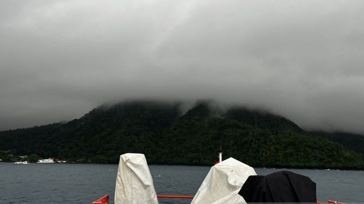
On Wednesday (17/4), the Center for Volcanology and Geological Hazard Mitigation (PVMBG) reported eruption activity in the form of volcanic ash ejection as high as 3,000 meters out of the crater of Mount Ruang in Sitaro Regency, North Sulawesi.
The eruption occurred tonight at 20.15 WITA. The explosive eruption gave rise to a natural phenomenon of flashing volcanic lightning.
PVMBG data states that during the last 24 hours there has been five eruptions with an altitude of 1,800 meters to 3,000 meters from the top of Mount Ruang.
In the period 1-17 April 2024, PVMBG recorded 1,439 earthquakes on Mount Ruang, 569 shallow volcanic earthquakes, six local tectonic earthquakes, and 167 distant tectonic earthquakes.
The National Disaster Management Agency (BNPB) has confirmed that as many as 272 families or as many as 828 residents of the Siau Islands, Tagulandang Biaro, have been evacuated using ships due to the eruption of Mount Ruangan, since Tuesday (16/4) Wednesday (17/4).
The English, Chinese, Japanese, Arabic, and French versions are automatically generated by the AI. So there may still be inaccuracies in translating, please always see Indonesian as our main language. (system supported by DigitalSiber.id)
Most Popular Tags
#Prabowo Subianto #donald trump #2026 World Cup #venezuela #konflik timur tengahPopular


