JAKARTA - The Meteorology, Climatology and Geophysics Agency (BMKG) has asked the public to remain alert to tornadoes during the rainy season in most parts of Indonesia until the end of February 2024.
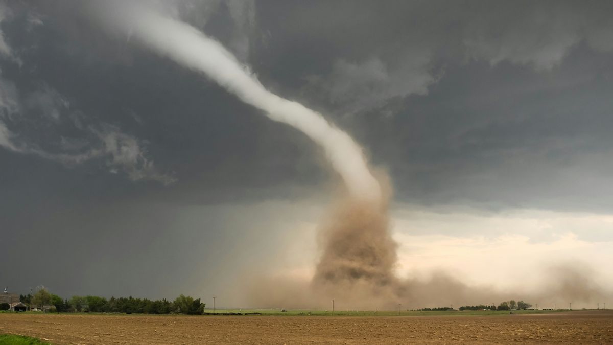
Deputy for Meteorology Guswanto in Jakarta, reported by ANTARA, Friday, February 23, said that visually a tornado is a phenomenon of strong winds that rotate like a trunk and usually can cause damage around the scene.
Whirlwinds are formed from a system of rainy clouds or cumulonimbuses that have characteristics to cause extreme weather.
According to him, this is very likely to happen after the BMKG monitors that there are several atmospheric phenomena that are observed to be quite significant in the next few days.
Guswanto said that the atmospheric phenomenon could also trigger an increase in rainfall accompanied by lightning and strong winds in a number of parts of Indonesia, such as Asian monsoon activities that are still dominant, atmospheric wave activity around central and eastern Indonesia, as well as the formation of bend patterns and elongated wind encounters in Central and Southern Indonesia.
BMKG mapped as many as 25 areas that have the potential for moderate rain accompanied by the formation of cumulonimbus clouds that trigger a tornado by the end of February 2024.
Dozens of these areas include North Sumatra, West Sumatra, Riau, Jambi, Bengkulu, Jambi, South Sumatra, Lampung, Banten, West Java, Central Java, East Java, Bali.
SEE ALSO:
Then, West Nusa Tenggara, East Nusa Tenggara, West Kalimantan, Central Kalimantan, East Kalimantan, South Kalimantan, North Sulawesi, Gorontalo, Central Sulawesi, South Sulawesi, Southeast Sulawesi and Papua.
Previously, in recent days BMKG had also issued an early warning of the potential for extreme weather to impact tornadoes, especially in the West Java region. BMKG stated that the potential for extreme weather, including heavy rain, has the potential to occur in Sumedang and Bandung areas.
This information was also strengthened by the issuance of extreme weather early warning news for a period of 1-6 hours on February 21, 2024 starting at 11.30-16.40 WIB 4 times on the day of the tornado extreme weather phenomenon in Jatinangor and Rancaek, West Java.
Reflecting on the incident, he appealed, the public must be aware of extreme weather in the form of moderate to heavy rain accompanied by lightning or lightning and strong winds in the afternoon, especially on the day where strong warming occurs between 10.00 and 14.00 local time.
This is usually marked by dark, towering types of clouds such as cauliflower and sometimes having a foundation at its peak such as cumulonimbus clouds.
BMKG provides how many recommendations to cope with when facing such conditions. For example, if you are in a closed room, the actions taken will close all doors and windows tightly, turn off all electricity in the house or building, and find a safe place and avoid near the door or window.
Furthermore, if you are outdoors, stay away from electric poles, billboards or other high buildings. Avoid other areas that have the potential to collapse such as bridges or tall trees, immediately look for a safe place, sit down and hold the back of your head.
"Then if the vehicle gets out of the vehicle, and immediately look for shelter like a sturdy building," he said.
The English, Chinese, Japanese, Arabic, and French versions are automatically generated by the AI. So there may still be inaccuracies in translating, please always see Indonesian as our main language. (system supported by DigitalSiber.id)


