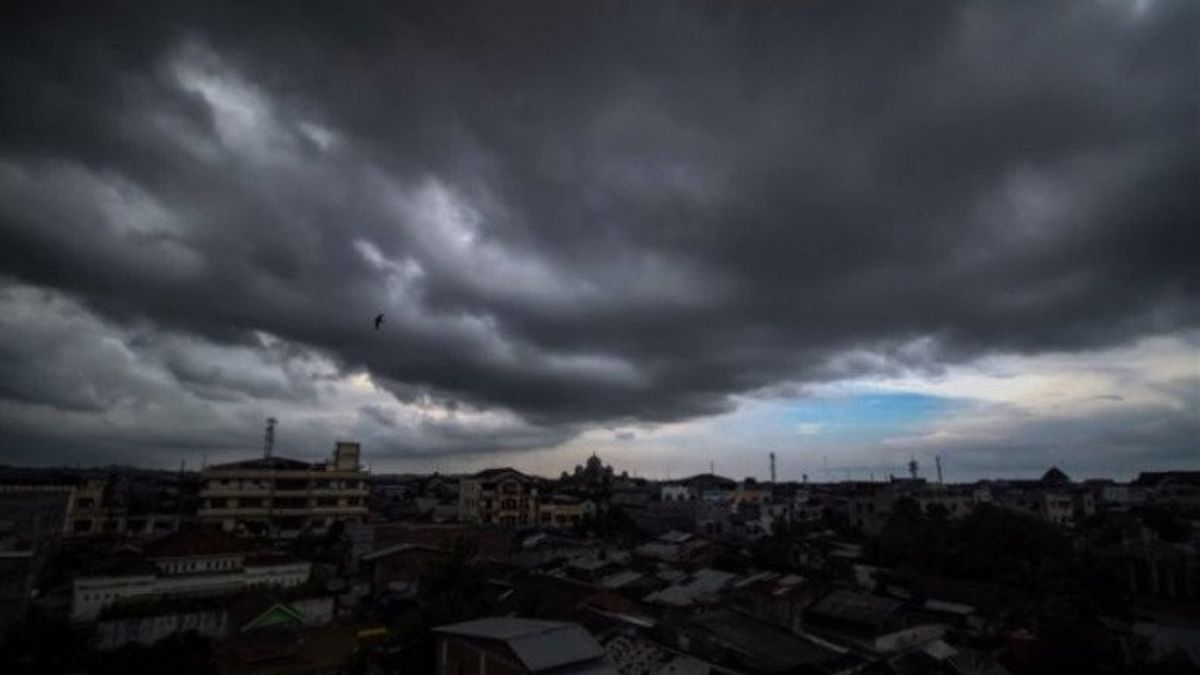


JAKARTA - The Meteorology, Climatology and Geophysics Agency (BMKG) Juanda in Sidoarjo warned of the potential for hydrometeorological disasters such as floods and landslides in a number of areas in East Java in the next 3 days.
This was revealed by the Head of Data and Information for BMKG Juanda, Teguh Tri Susanto, as reported by Antara, Monday, February 8.
"As on Tuesday, February 9, a number of areas that have the potential to flood include Lamongan, Tuban, Bojonegoro, Ngawi, Tulungagung, Blitar City, Pasuruan City, Jember and Bondowoso."
The public is also asked to be aware of the potential for strong winds and also heavy rain accompanied by lightning.
"We will also update weather information through available channels, one of which is through the existing WhatsApp group application," he said.
Meanwhile, according to available information, the BMKG also issued an early warning regarding the weather conditions in East Java waters.
Weather conditions in most areas of East Java waters tend to be cloudy, the potential for heavy rain can occur in Tuban-Lamongan waters, the Madura Strait, the southern waters of East Java and the Indian Ocean south of East Java.
The wind direction is predominantly from the West - Northwest, the maximum wind speed in the eastern Java Sea is 19 'knots' (36 kilometers per hour) and the South East Indian Ocean is 19 'knots' (36 kilometers per hour).
Meanwhile, the sea wave height in the Madura Strait is between 0.5 - 1.25 meters in the eastern Java Sea between 0.75 - 2.0 meters, while in the Indian Ocean south of East Java it is between 1.5 - 3.8 meters.
Beware of wave height of more than 2.5 meters in the waters south of East Java and the Indian Ocean south of East Java.
The English, Chinese, Japanese, Arabic, and French versions are automatically generated by the AI. So there may still be inaccuracies in translating, please always see Indonesian as our main language. (system supported by DigitalSiber.id)


