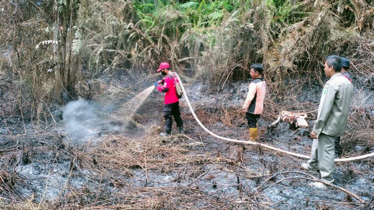


BALIKPAPAN - The Meteorology, Climatology and Geophysics Agency (BMKG) detected 56 hotspots as early indicators of forest and land fires in the Province of East Kalimantan during the monitoring period Monday, August 28 from 01.00 to 24.00 WITA.
According to the Coordinator for Data and Information of the Class I Meteorological Station Sultan Aji Muhammad Sulaiman-Sepinggan Balikpapan Diyan Novrida during that period hot spots were monitored in six districts.
Hot spots were monitored in the districts of Paser (28), North Penajam Paser (3), West Kutai (3), East Kutai (1), Kutai Kartanegara (12), and Berau (9).
Hot spots were monitored in Tanah Grogot, Muara Komam, Long Kali, Long Ikis, Batu Engau, Muara Samu and Batu Sopang sub-districts in the Paser area and Babulu and Penajam sub-districts in the North Penajam Paser area.
"In addition, hot spots were detected in Peninggahan District in West Kutai, Muara Ancalong District in East Kutai, Muara Muntai, Muara Kaman, Loa Janan and Kenohan Districts in Kutai Kartanegara, as well as Gunung Tabur, Segah and Teluk Bayur Districts in Berau. " he explained in Balikpapan quoted from Antara, Tuesday, August 29.
Diyan said that information regarding the distribution of hotspots had been submitted to the Regional Disaster Management Agency at the provincial and district levels.
SEE ALSO:
-
 | BERITA
Dasco Sebut Gerindra Tidak Pernah Berusaha Pisahkan Jokowi dengan Megawati
27 Agustus 2023, 11:45 -
 | BERITA
Terima Petikan Putusan Kasasi Sambo Cs, PN Jaksel Teruskan ke Kejaksaan dan Terdakwa
14 Agustus 2023, 11:03


He reminded residents not to take actions that could trigger a fire during the dry season, such as throwing cigarette butts carelessly and setting fires to clear or clear land.
The English, Chinese, Japanese, Arabic, and French versions are automatically generated by the AI. So there may still be inaccuracies in translating, please always see Indonesian as our main language. (system supported by DigitalSiber.id)


