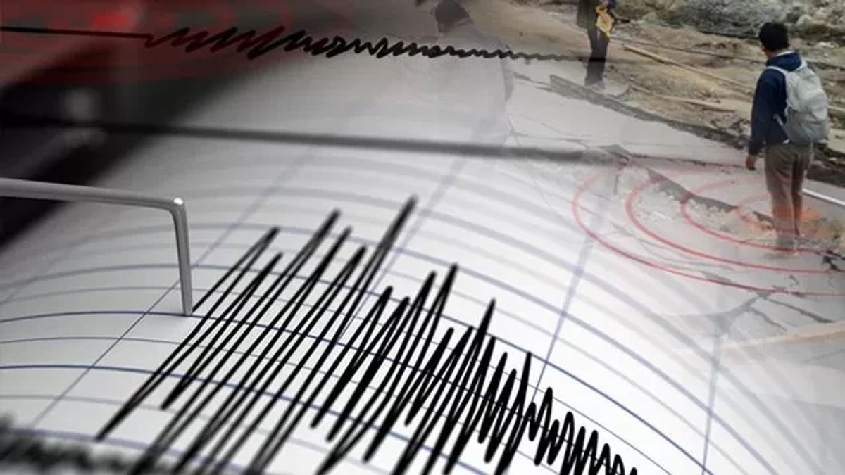


JAKARTA - The Meteorology, Climatology and Geophysics Agency (BMKG) informed that an earthquake with a magnitude of 4.6 rocked South Manokwari, West Papua, Friday, July 21 at 03.32 WIB.
Based on the official website of the Meteorology, Climatology and Geophysics Agency (BMKG) which was monitored in Jakarta, the epicenter of the earthquake was in the sea 40 km northeast of Ransiki.
The coordinates of the earthquake were at 1.23 South Latitude (LS) and 134.41 East Longitude (BT), with a depth of 10 km.
The tremors were felt in the Ransiki district, which is the capital city of South Manokwari Regency, on a scale of III Modified Mercalli Intensity (MMI).
The Mercalli scale is one of the units to measure the strength of the earthquake, especially if there is no seismometer equipment at the scene, as quoted from the BMKG website.
SEE ALSO:
-
 | BERITA
Kasus TPPO Modus Jual Organ Manusia, Mayoritas Tersangka Mantan Pendonor
20 Juli 2023, 19:09


On the third scale, the vibration is felt real in the house. The vibration felt as if a truck had passed.
BMKG appealed to people in affected areas to be aware of possible aftershocks.
The English, Chinese, Japanese, Arabic, and French versions are automatically generated by the AI. So there may still be inaccuracies in translating, please always see Indonesian as our main language. (system supported by DigitalSiber.id)


