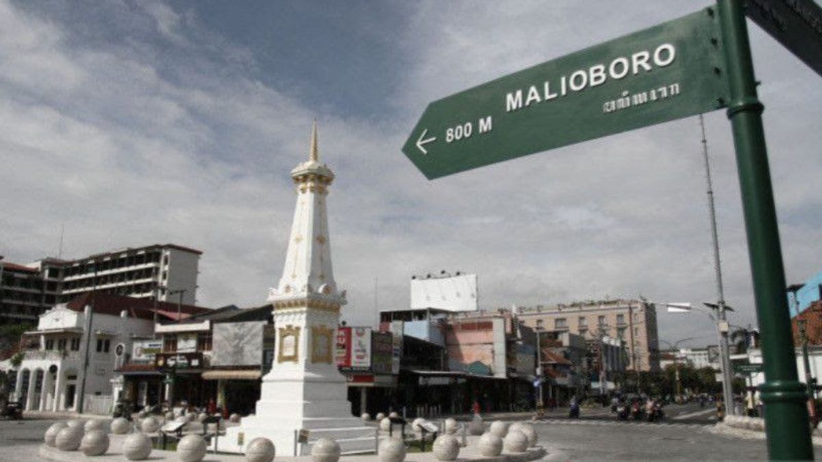
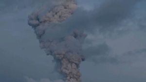
YOGYAKARTA - The Yogyakarta Special Region Tourism Office (DIY) guarantees that tourist attractions in its area remain safe and operate normally after the series of eruptions of Mount Merapi, since last Saturday, March 11.
"The series of hot clouds falling from Mount Merapi have not had a significant impact on tourism activities since Saturday, in general tourist destinations continue to operate normally as usual," said Head of the DIY Tourism Office Singgih Raharjo in Yogyakarta, Antara, Monday, March 13.
In fact, said Singgih, many tourists actually perpetuate the launch of hot clouds, becoming something interesting to perpetuate.
Several tourist destinations located near the slopes of Mount Merapi were temporarily closed during the eruption, but have now operated again by implementing safe procedures standards.
Especially for the "Lava Tour Merapi" adventure tour, the cruise route has changed according to the safe limit set by the Geological Disaster Technology Research and Development Center (BPPTKG) and the DIY Regional Disaster Management Agency (BPBD).
"There are some that are then adjusted, such as the 'lava tour' route, which is not as usual to the Kaliadem Bunker. Where we are looking for locations that really do not exceed the limits suggested by BPBD," he said.
Nevertheless, Singgih asked all tourist destination managers on the slopes of Mount Merapi to remain vigilant by making quick efforts when an eruption disaster appears that has the potential to endanger tourists.
"If something happens that then endangers tourists, steps are immediately taken without having to wait for a notification because those who know exactly the situation at the location are the person concerned," he said.
Head of BPPTKG Agus Budi Santoso ensured that all tourist activities in DIY remained safe while taking place outside the Merapi eruption hazard zone that had been set.
The current potential danger of Merapi is in the form of lava avalanches and hot clouds of avalanches that can reach the Woro River channel as far as a maximum of three kilometers from the summit, while Kali Gendol is five kilometers from the summit, Kali Boyong is five kilometers from the summit, and Kali Bedog, Krasak, Bebeng is seven kilometers from the summit.
"Tourism activities and any activities outside the danger area are still safe," said Agus.
He asked tourism actors on the slopes of Mount Merapi to implement emergency procedures, one of which is by regulating the density of tourists.
"It is feared that if tourists are too crowded, too many somewhere then they see something scary like a big hot cloud in the other direction then they panic and scatter, of course this can lead to other dangers," said Agus Budi Santoso.
BPPTKG recorded 60 times that hot clouds of avalanches slid from Mount Merapi towards the Bebeng River based on monitoring data from Saturday to Monday today.
The English, Chinese, Japanese, Arabic, and French versions are automatically generated by the AI. So there may still be inaccuracies in translating, please always see Indonesian as our main language. (system supported by DigitalSiber.id)
Most Popular Tags
#Prabowo Subianto #New Year #Mother's Day #nataru #NatalPopular
23 Desember 2024, 00:04
23 Desember 2024, 00:55
23 Desember 2024, 03:01
23 Desember 2024, 01:41
